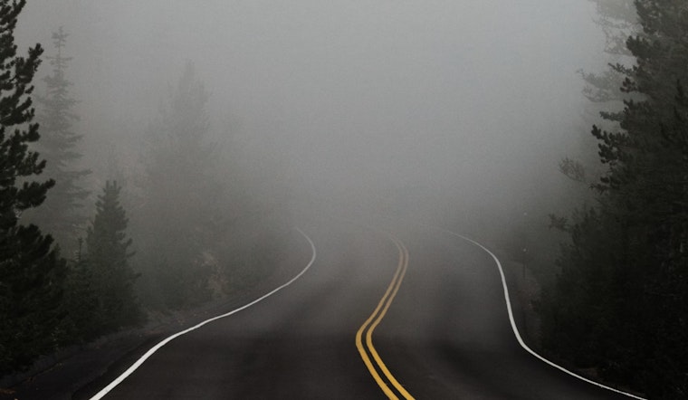
The city woke up to a blanket of fog, specifically in areas north of I-70. Visibility was significantly reduced early this morning, in some cases to a quarter mile or less, as the National Weather Service in Indianapolis reports.
Looking ahead, the weather outlook for central Indiana appears to be relatively calm with predictions of sunny days and clear nights. However, the conditions seem likely to shift rapidly as the week progresses. By Halloween, isolated thunderstorms are predicted to bubble up across the region's south-central zone. Despite the prospect of a spooky twist to the end of the month, the NWS has not deemed it necessary to activate its weather spotters yet.
Further details shared by the NWS illuminate the week's weather patterns for Indianapolis, starting with today's sunny high of 62 degrees and calm winds. The calm is to briefly settle, only to give way to partly sunny skies and the potential for strong gusts reaching upwards of 36 mph by Tuesday. The full forecast anticipates a rollercoaster of temperatures with highs nearing 81 degrees before dipping down again towards the end of the week.
Residents and visitors can expect to face a mixed bag of weather conditions as Wednesday ushers in a high near 81 and a chance of rainfall that continues to rise through to Thursday. With the arrival of showers, and with it, a high near 71 degrees, the likelihood of precipitation charges to 80 percent. If the predictions hold steady, conditions should improve again by Friday, offering a mostly sunny respite and a cooler high near 61 degrees.


