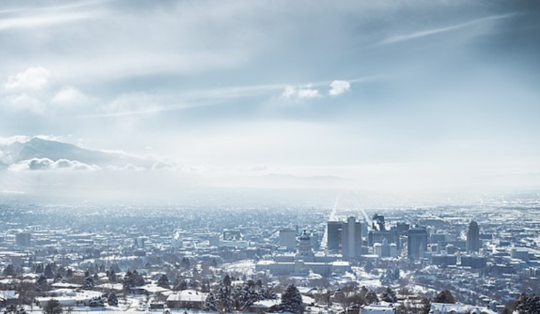
As the mist hangs over Salt Lake City, residents are gearing up for a variation in weather this week, as reported by the National Weather Service (NWS). The city is currently sitting at a chilly 28 degrees Fahrenheit, with a humidity level of 86 percent. Visibility is capped at six miles thanks to the prevalent haze, and while the mercury may hit a high near 54 today, the wind chill factor makes it feel more like 20 degrees.
According to the National Weather Service, for those planning their weekend activities, the weather outlook suggests bringing along an umbrella. NWS predicts a 20 percent chance of rain Sunday afternoon, with the possibility of shower increasing to 50 percent by the evening. The week begins with rain likely, particularly before 11 am on Monday, where the chance of precipitation is pegged at 70 percent. Commuters might welcome slightly clearer skies Monday night, as the clouds make way for a partly cloudy horizon.
As the week progresses, the weather patterns appear to flirt with the notion of a white Christmas. Temperatures dip back down on Tuesday night, inviting a likelihood of rain after 11 pm, which interestingly might mix with snow on Christmas Day. Those hoping for a postcard-perfect holiday should keep their fingers crossed, as the slight chance of this mix is forecast to taper off as the day wears on.
Extended forecasts suggest that the dance between rain and snow will continue past the holiday. The latter half of the week could see this pattern persist, with Thursday offering another chance for rain and snow. This alternating weather script continues into Friday. There's no telling if the snow will stick or if it will be swept away by rain, but what's certain is the variability, the ebb and flow of a winter in Salt Lake City.


.jpg)