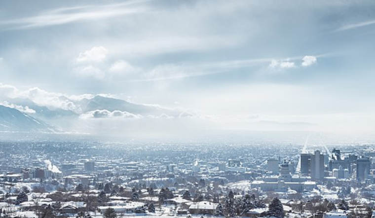
As the winter season presses on, Salt Lake City residents are bundling up and bracing themselves for a wintry mix of precipitation. According to the National Weather Service in Salt Lake City, folks can expect light snow to turn to rain throughout the day. Conditions today include a blend of rain and snow until 2 pm, followed by a likely shift to rain between 2 pm and 5 pm, with a chance that the precipitation will revert to a mix of rain and snow after 5 pm. Even a rumble of thunder isn't off the table. The day's high is teetering around 42 degrees with a south-southeast wind blowing at a mild 5 to 9 mph.
Where the forecast is concerned, the Chance of precipitation is 90%, with less than half an inch of snow expected to accumulate during the daylight hours, per the National Weather Service. Come nightfall, rainfall, and snow showers are on the docket before 11 pm, then rain showers appear likely to return after 5 am, and don't be surprised by a thunderclap or two amidst the hubbub. The temperature will drop modestly, lodging at around 31 degrees with southeast winds gently pushing at 3 to 8 mph, and the likelihood of precipitation stands firm at 90% for the evening, with scant snow accumulation anticipated.
Friday's prospects are not so different, with the NWS predicting more rain, possibly mixed with snow, becoming all rain after 2 pm. Temperatures are expected to climb a bit higher, reaching near 45. The southeast wind will pick up a touch, traveling at 6 to 11 mph and then swinging south-southwest in the afternoon. Again, the chance of precipitation stays high at 90%, but like the days preceding, little to no snow accumulation is foreseen.
Moving into Friday night, rain showers are still on deck, mostly keeping the skies cloudy and the temperatures hovering around a 34-degree low. Saturday's forecast simply says "Rain," an uncomplicated prediction for what lies ahead, with temperatures slated to hit nearly 46 degrees. The chance precipitation marker here is 80%, and the south wind will sustain its soft 6 mph rhythm. Continuing with this pattern, rain is likely Saturday night, primarily before 11 pm, and transitioning into a partly sunny Sunday with a 40% chance of rain rolling back around after 11 am.
As the new year approaches, Utahns might see a slight reprieve from the relentless precipitation. However, only a slight chance of rain and snow is expected on Monday before giving way to a partly sunny day with highs hovering near 39 degrees. With another workweek on the horizon, the weather seems to hold a steady course of partly cloudy skies and a consistent chill in the air, suggesting that residents should keep their winter attire at the ready, a telltale sign of the season's persistence in Utah's beautiful, if predictably unpredictable, winter wonderland.


