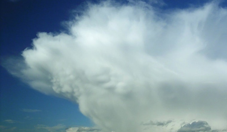
Texas witnessed a captivating natural spectacle as mammatus clouds formed following scattered showers and thunderstorms on Friday, August 23. These clouds differ from the more common types in that they are not created by rising air; instead, they appear when air starts to sink after the storm. As reported by AccuWeather, these notable formations are usually cooler than the surrounding air, aiding in their unique rounded appearance which stood out against the sunset in Bee Cave, Texas.
Describing what lends these clouds their signature look, EarthSky notes that mammatus clouds, associated with storms, can stretch over vast areas. Although their presence often indicates severe weather, they are also recognized for their remarkable aesthetic presence in the sky. The clouds tend to appear before, during, or after storms, providing locals with visually striking formations that are, however, short-lived, usually lasting only about 10 to 15 minutes.
The term 'mammatus', derived from the Latin word 'mamma' meaning 'udder' or 'breast', alludes to the peculiar lumpy undersides of the formations. These clouds can display a variety of colors, from brilliant white to nearly transparent, according to Sky at Night Magazine. While scientists have yet to fully understand the exact mechanisms behind their formation, their appearance is widely seen as a harbinger of impending stormy weather.
Pilots and outdoor enthusiasts are advised to respectively avoid flying through or remain under these clouds, as they can signal turbulence and necessitate a swift change in plans. So next time you happen to glimpse mammatus clouds, you might want to quickly appreciate their stunning view, because it's an almost certain sign that you should probably get ready to head indoors.


