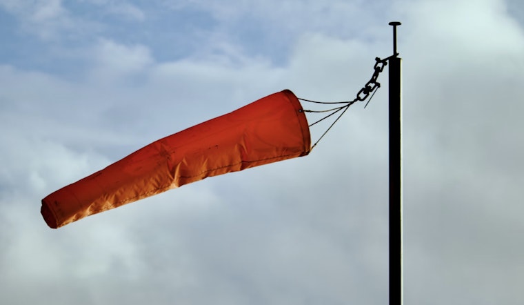
The National Weather Service in Indianapolis has issued a weather advisory for central Indiana, cautioning residents about isolated wind gusts of up to 40 mph this afternoon and evening. The advisory, issued by the NWS early this morning, highlights a fair day ahead with a notable rise in temperature and wind speed. The current temperature in Indianapolis is a frosty 16°F, with a steady west-southwest wind blowing at 6 mph.
Central Indiana natives can expect to experience the chilly wind chill factor, which is currently calculated to be a bracing 7°F. Bracing for a sunny day ahead, temperatures are forecasted to climb to a high near 43, with wind speeds to potentially intensify to 16 mph, bringing gusts that could reach as high as 32 mph. The NWS cautions this surge in wind speed could resultantly lead to hazardous conditions, particularly this afternoon and early evening.
As the week progresses, Hoosiers can look forward to more sunny days and clearer nights. Forecasts for the week suggest a consistent weather pattern with highs hovering in the mid-40s and lows in the 30s, barring Thursday night, where there is a 70% chance of showers. The relative calm in weather extends into the coming days with no additional hazardous weather expected at this time as per the NWS’ hazardous weather outlook.
Looking ahead, the NWS' detailed forecast indicates that after a clear Wednesday night with temperatures dropping to around 26, Thursday will see mostly sunny skies with it being likely to shower post-1am. The city is expected to experience a wet end to the week with showers both on Friday and a 50 percent chance of them Friday night, accompanied by bouts of gusty winds. As for the weekend, the chance of showers diminishes Saturday with partly sunny conditions projected and a high nearing 43.
Residents aware of these changing conditions can plan their week accordingly, thanks to the warnings and detailed report provided by the National Weather Service. The outlook for central Indiana, issued early today by the NWS, indicates no immediate need for spotter activation, meaning spotters need not report in during this weather event, but those braving the outdoors should remain duly cautious of the windy sessions forecasted.


