The National Weather Service in Indianapolis has issued a hazardous weather outlook for central Indiana, highlighting strong wind gusts and potential thunderstorms in the region; according to the report, the area north and east of Indianapolis is bracing for wind gusts of up to 40 mph today, posing a challenge to residents as they navigate their daily routines.
With precipitation hitting a 80% chance today, the city's streets have turned into an almost-concert of umbrellas and raincoats, while the cold wind has ensured most are layered up head to toe, looking to stave off temperatures that are expected to fall to 43 degrees by late morning, according to the NWS forecast.
As we look ahead to the evening, the NWS predicts "mostly cloudy" skies initially, which will gradually clear as the temperatures drop to a low around 28, while the weekend ushers in increasing clouds on Friday with highs nearing the mid-50s and a 30 percent chance of showers late Saturday night.
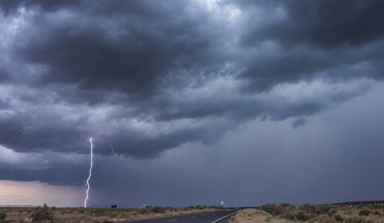
Sunday's forecast calls for showers, possible thunderstorms after 2 pm and southeast winds getting up to 26 mph, though severe weather is not expected at this time, the NWS cautions that "lightning is a hazard with any thunderstorm"; spotter activation may be needed for monitoring harsh weather conditions.


