The National Weather Service in Knoxville has issued a Red Flag Warning for East Tennessee and Southwest North Carolina, in effect until 8 p.m. EST this evening. The warning speaks to current dry conditions, high winds, and low humidity levels that can contribute to extreme fire behavior. With the humidity expected to drop below 30 percent, and close to 20 percent in some locations, the risk of fire spreading quickly is significant.
Residents in the affected areas that include parts of Cherokee and Clay in North Carolina, as well as Scott TN, Campbell, and other East Tennessee counties are urged to exercise caution. "Any fires that develop will have the potential, to spread quickly. Outdoor burning is not recommended," the National Weather Service warns. The combination of these elements has prompted the NWS to strongly advise against outdoor burning for the day.
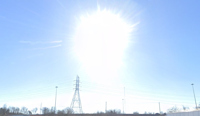
On top of the fire concerns, the Knoxville area's weather forecast suggests sunny skies today with a high near 56, transitioning into a mostly clear night with a low around 24. Looking ahead, a strong cold front is expected to sweep through the region Tuesday night into Wednesday, which could bring the potential for severe weather. Community members are encouraged to monitor updates closely as the situation develops.
The region will not get much respite as low afternoon relative humidity (RH) values are expected again tomorrow. Despite calmer winds, "fire danger levels will remain elevated," according to the Hazardous Weather Outlook provided by National Weather Service. As communities prepare for potential showers and breezy conditions approaching midweek, with a 90 percent chance of precipitation on Tuesday night, the focus on fire safety and awareness is more crucial than ever.


