As the workweek beckons, so does a significant shift in Utah's weather conditions, which are expected to complicate travel across the state. The Utah Department of Transportation (UDOT) has issued a Road Weather Alert for Monday evening into Tuesday morning, warning of a powerful cold front set to disrupt the region.
UDOT anticipates that this front will commence its descent in northern Utah around 6 p.m. Monday, advancing toward southern Utah by 10 p.m., as reported by KUTV. Cooler temperatures are on the heels of this front, likely affecting thoroughfares such as I-15 and I-80 during the night and into the following morning.
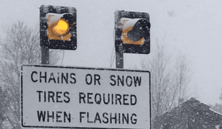
Rain will accompany the front but is forecasted to turn to snow swiftly, even at lower elevations. ABC4 Meteorologist Nate Larsen noted, "A strong cold front will sweep through the Beehive State Monday evening into Tuesday, bringing gusty winds and valley rain over to snow," according to ABC4.
Travel disruptions are expected on several routes across the state, reflecting weather-related concerns. Routes forecasted to be impacted include but are not limited to, I-15 from the Idaho border to Cedar City, I-215 along its entire route, and I-80 from Grassy Hill to the Wyoming border, as detailed by FOX13.


