Bay Area beachgoers are advised to exercise caution by the National Weather Service as hazardous conditions persist along the coast. A Beach Hazards Statement is in effect until 11 PM Monday, highlighting the risk of sneaker waves and rip currents. The NWS San Francisco warns, "Beachgoers should be mindful today given potential hazards," and advises staying off jetties and rocks, keeping pets on a leash, and never turning your back on the ocean.
The Bay Area's brief respite from the unseasonably warm weather is set to resume, with temperatures forecasted to climb above normal for the remainder of the work week. As stated on the National Weather Service San Francisco's forecast, "The warmest days will be Wednesday and Thursday with many inland Bay Area and Central Coast locations reaching 80 or higher." The spike in temperature follows a mild cooldown featuring light rain and persisting cloud cover.
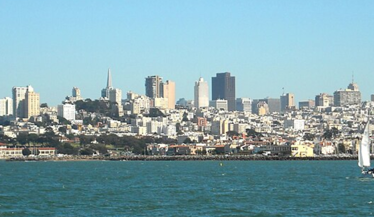
Mariners should also take heed as marine conditions are expected to be less than ideal through the coming days. The NWS has issued a Small Craft Advisory through Tuesday morning for certain coastal regions, citing moderate height, long-period swells from the WNW, and shifting winds as a cold front passes through. Later in the week, stronger NW winds are anticipated to arrive, potentially impacting those out on the water.
In response to the minor HeatRisk forecasted for this week, residents may find themselves shelving winter apparel in favor of lighter options to accommodate the uptick in temperatures. The 7-day forecast details a steady escalation in warmth, with the median of the mercury hovering in the low 70s for midweek. The National Weather Service notes: "Sunny, with a high near 71," for Wednesday, offering a taste of the balmy weather ahead.


.jpg)