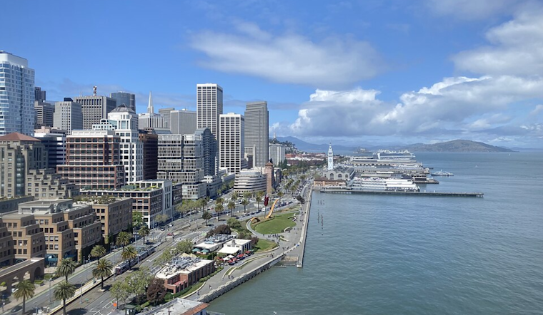
The Bay Area's spring weather pattern continues a trend of dry conditions and above-normal temperatures, as the National Weather Service in San Francisco anticipates a warming period to extend through Monday, with coastal fog and high dew points marking the early mornings. High temperatures could reach the mid-70s in inland areas, while the coasts might hover between the upper 50s and low 60s, as per the National Weather Service.
Despite a brief respite with cooler and cloudier weather foreseen mid- to late week, the prospects for substantive rainfall seem to be on the decline. This detail was further emphasized in a separate dispatch on social media from the NWS, which noted that "April precipitation is well below normal so far, and the chance for any significant rain next week is decreasing," as per NWS Bay Area.
April precipitation is well below normal so far, and the chance for any significant rain next week is decreasing. pic.twitter.com/71vGnWb9gx
— NWS Bay Area 🌉 (@NWSBayArea) April 20, 2025
Flight and sailing conditions will also respond to the current weather pattern. Airports will grapple with varying fog density until the late morning, with potential visibility concerns demanding attention, especially in the North Bay and the Central Coast. Similarly, the marine forecast predicts escalating north and northwest winds across the outer waters that could extend into the work week, influencing leisure and commercial maritime activities.


