The Bay Area is set to bask in above-normal temperatures through the end of this week despite a brief dip expected on Saturday. "Warm temperatures and light winds will continue today with minor HeatRisk concerns," the National Weather Service San Francisco cautions. However, pleasant weather will hold sway well into next week.
However, a "weak and dry cold front" moving south into our area tonight brings a cooler, drier air mass, which means some of us could feel the cool touch of a brief cooler air this Saturday, the NWS San Francisco predicts. Along the coast, "a weak shallow marine layer" extends from Norcal south to Santa Cruz, struggling to push inland before it mixes out later today. This forecasts a potential for some coastal drizzle on Saturday, a minor respite from the persistent dryness.
While the weekend starts cooler, the air is set to warm up fairly quickly by midday. "The progressive synoptic pattern will leave our area in between more potent energy moving inland to our north across the Pacific Northwest," according to the NWS San Francisco, resulting in very pleasant spring weather. This pattern brings weak offshore flow by Sunday, lifting temperatures about 5 degrees above normal early next week, renewing minor HeatRisk concerns.
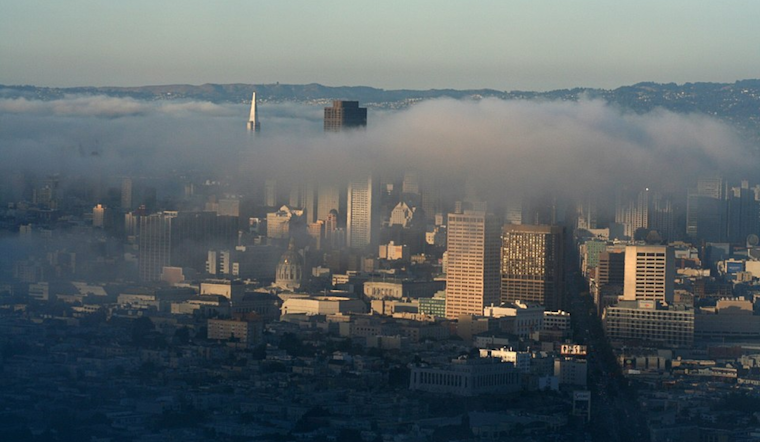
Aviation-wise, fog and coastal stratus are bringing visibility issues. "Dense fog with a visibility less than 1/4 mile has reached Petaluma Municipal Airport and a light southerly wind is advecting fog to Sonoma County Airport," the NWS San Francisco discloses. Mariners are also advised of a "coastal jet" resulting in stronger winds, particularly hazardous south of Point Sur. The Monterey Bay Terminals experience IFR-LIFR conditions due to stratus and fog around the bay, which are forecasted to increase into Friday morning.
On social media, NWS Bay Area's post reiterates the forecast of warmer conditions, highlighting that "there are currently no real chances for rain (outside of some coastal drizzle on Sat) over the next 3 to 5 days." This dry spell punctuates the ongoing concern over the absence of meaningful rainfall, suggesting it might be over ten days until the next chance of substantial precipitation graces the region.
Above normal warmth will continue thru the end of the week. Some of us will get a brief shot of cooler air on Saturday, but conditions will warm again on Sunday. There are currently no real chances for rain (outside of some coastal drizzle on Sat) over the next 3 to 5 days. #cawx pic.twitter.com/aQA46eEGEV
— NWS Bay Area 🌉 (@NWSBayArea) April 10, 2025


