Chicago is bracing for a dynamic spring weather palette over the next several days, with conditions ranging from balmy breezes to possible severe thunderstorms, forecasting services say. The National Weather Service predicts today will see "a slight chance of showers and thunderstorms before 9am, then a slight chance of showers and thunderstorms after 5pm." Localized gusts might reach up to 40 mph in what is expected to be mostly sunny skies with a high near 83 degrees.
Tonight, the chance of precipitation jumps to 60%, with showers and thunderstorms likely before 1 am, then tapering off to showers thereafter. For those planning to start the weekend on a dry note, Saturday morning offers a minor reprieve, with just a 10% chance of showers before 7 am, as detailed by the NWS. Heading into Easter, morning services should elude rainfall, but by afternoon, the skies open up again with a 60% chance of showers.
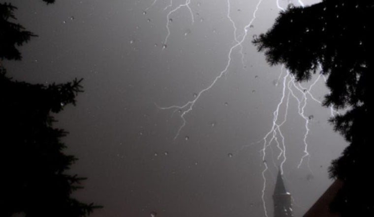
However, the outlook for severe weather is not set in stone, with forecasts suggesting a very conditional scenario. "There are still plenty of doubts about severe storms materializing," Fox 32 Chicago reports, and if strong storms do flare up, they are more likely "southeast of Interstate 55." These conditions are potentially set for the evening, anytime after 6 p.m. until about midnight. Residents are urged to remain alert during these hours and to keep informed on the latest weather updates.
The sweep of the weekend will eventually settle into milder climes. Post-storm, temperatures hover in the 50s — quite the drop from today's peak. For those making plans, Easter's daytime showers should not interrupt early celebrations, but by nightfall, prepare for a "high chance for thunderstorms moving through late at night," warns Fox 32 Chicago. As the storms clear, temperatures will ascend once again by midweek, potentially reaching 72 degrees on Wednesday, before settling into a pattern of partly sunny days and intermittent chances of showers.


