The National Weather Service in Salt Lake City has issued a forecast for the coming days, suggesting a pattern of mostly sunny skies with a scattering of possible showers and thunderstorms. Specifically today, Salt Lake City residents can expect a 20 percent chance of showers and thunderstorms post-noon, amid ample sunshine with the mercury set to soar to a high near 97 degrees. Gentle breezes from the east southeast will shift to the southwest in the afternoon, according to the National Weather Service.
As evening approaches, the sky is forecast to remain partly cloudy, with the temperatures dropping to a comfortable low around 64 degrees. The northwest wind will slow to a light variable breeze after midnight. In terms of humidity, the city stands at a dry 35%, with a dew point of 43°F, which may provide some respite from the day's heat for residents seeking cooler evening temperatures.
Moving into the latter part of the week, the sunny trend is expected to continue, with Thursday seeing highs in the low 90s and a calm wind shifting west southwest. The nighttime will likely remain mostly clear, accompanied by a low of around 64 degrees. Similarly, Friday and the weekend days are anticipated to uphold this sunny disposition, with highs consistently pushing into the mid-90s and lows remaining steady in the mid to upper 60s.
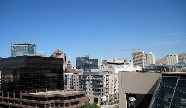
Visibility across the region remains unobstructed, stretching up to 10 miles, offering crystal clear views of Salt Lake City's natural surrounding beauty. The consistent forecast allows locals and visitors alike to plan outdoor activities without the worry of unexpected weather changes. Indeed, the weekend's forecast boasts uninterrupted sunshine with highs hovering near 96 degrees, and the evenings will be characterized by mostly clear skies and lows sinking to around the mid-60s.


.jpg)