Minneapolis residents should brace themselves for a wet and potentially tumultuous week ahead. The National Weather Service's latest forecast projects a high likelihood of showers and thunderstorms starting Friday and carrying on into the following Thursday. According to the forecast from the National Weather Service, today's weather is set to include showers and a possible thunderstorm before 9am, followed by a chance of more showers and thunderstorms after 9am with a cloudy sky, and high temperatures near 63 degrees Fahrenheit.
Tonight, Minneapolis will face cloudy conditions with a 50 percent chance of rainfall, including showers and thunderstorms, with lows around 55 and east winds from 5 to 10 mph, with new rainfall amounts between a quarter and half an inch possible. Over the weekend, the weather is expected to continue its unstable pattern, with Saturday night seeing a 70 percent chance of precipitation, including likely showers and potential thunderstorms after 1am. Sunday appears to offer no relief, as showers are likely and a thunderstorm is possible after 1pm, while the temperature climbs to near 80 degrees.
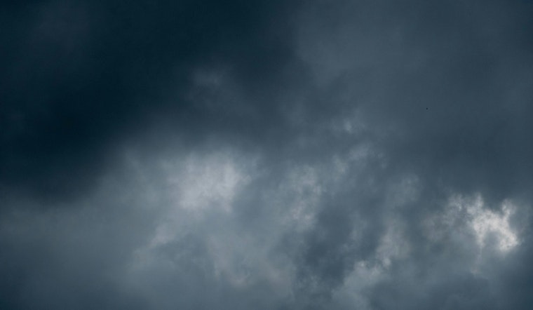
The Hazardous Weather Outlook issued by the National Weather Service cautions that "Locally heavy rainfall continues through this morning across central Minnesota & western Wisconsin." Moreover, residents should anticipate "Multiple rounds of thunderstorms are expected Saturday night through Wednesday," which may usher in further strong to severe storms and heavy rainfalls.
Looking ahead, Monday retains a 40 percent chance of showers and thunderstorms in the afternoon, with partly sunny skies, and a high near 85 degrees. The following days, including Juneteenth, forecast a continued 30 percent chance of rainfall and thunderstorms amidst sunnier conditions. While the outlook is not set in stone, with weather patterns forever at the whim of nature's complexities, the week ahead in Minneapolis certainly promises moisture, and a not insignificant chance for severe weather events.


