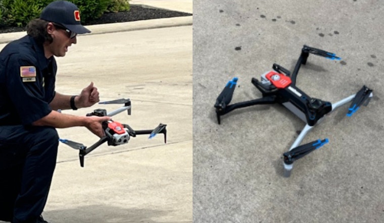
The Murfreesboro Fire Rescue Department (MFRD) has implemented a high-tech drone fleet, augmenting its emergency response capabilities with cutting-edge technology. These drones, equipped with features such as high-resolution cameras and thermal imaging, are designed to provide a comprehensive bird's-eye view during crisis situations – these tools can pierce through poor visibility or access scenes that pose danger to responders, as they've reported on social media and as confirmed by Facebook.
According to WKRN, drones come equipped with various cameras, including zoom lenses and advanced mapping capabilities the devices can reach any point within the Murfreesboro city limits in under 12 minutes, providing invaluable support to not only fire crews but also police in their search for suspects. "If we want to have responders see the drone footage if they’re out in the field, the drones can give them real time data and info by scanning the QR code," said Captain Matt Young, who also noted the utility in searching for missing individuals.
The deployment strategy places these drones at strategic locations across the city allowing for a swift aerial response by MFRD, which includes 20 designated pilots. As noted by Captain Matt Young, "These drones are game-changers for us," revealing that these unmanned aerial vehicles are integral in a variety of emergency scenarios, from locating missing persons to natural disaster assessment, as reported by WGNS Radio.
With a focus on public safety and innovation the department has ensured that all drones are "Blue List" compliant, approved by the U.S. Department of Defense; Young told WGNS Radio about investments in training equipment and FAA certifications, emphasizing the importance of preparedness in the face of emergencies. These U.S. Department of Defense-approved tools also feature gas detection, GIS-based live mapping capabilities, and the ability to share real-time video feeds directly with first responders on the field, showcasing a multifaceted approach to managing crises efficiently.


