Nashville residents are starting their day under a thick layer of fog and mist, as the National Weather Service reports visibility reduced to four miles and humidity levels hovering at a sticky 82%. The temperature is currently a warm 74°F, with a dew point of 68°F, setting the stage for another hot and humid summer day.
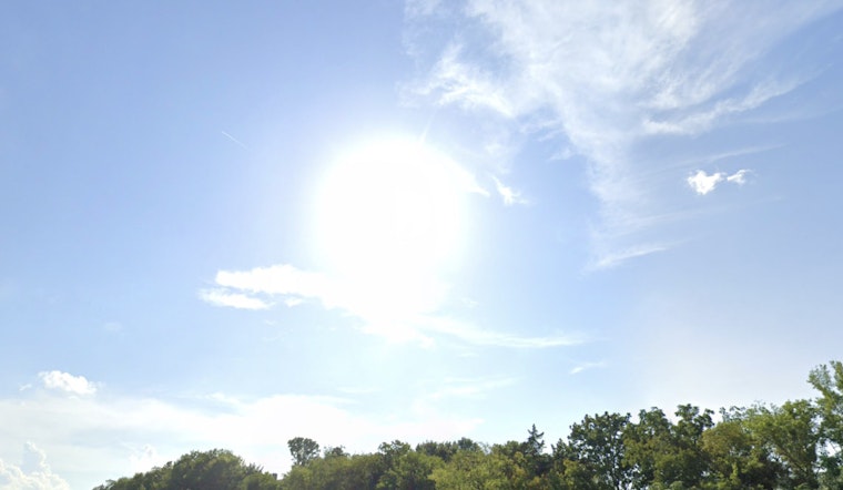
Today's weather is expected to follow a typical July pattern, with morning fog clearing to reveal sunny skies and temperatures rising to around 97°F. Heat index values may reach 100°F. Winds will remain calm for most of the day, becoming southerly at approximately 5 mph in the afternoon, as reported by the NWS.
Looking ahead, the evening is expected to be mostly clear, with temperatures dipping to around 75°F. Light southern winds from earlier in the day will ease into calm conditions overnight. On Sunday, similar weather is forecasted, with highs near 97°F and heat index values approaching 100°F. Winds are anticipated to shift to the west-southwest at around 5 mph in the afternoon.
Monday brings a slight shift in the weather pattern, with a 40% chance of showers and thunderstorms developing after 10 a.m., though mostly sunny skies are expected to prevail. This mix of sun and potential rainfall continues into the week. Tuesday carries a 50% chance of showers, while Wednesday is expected to see afternoon thunderstorms. Nighttime conditions will remain partly cloudy, with lows consistently in the mid-70s. The pattern peaks on Thursday, when the likelihood of thunderstorms increases to 70%, despite periods of partial sunshine.
As Nashville moves through a period of high temperatures and occasional storm activity, staying hydrated, seeking shade during outdoor activities, and monitoring the forecast for sudden showers or thunderstorms are recommended precautions. With proper planning, conditions can be managed effectively throughout the week.


