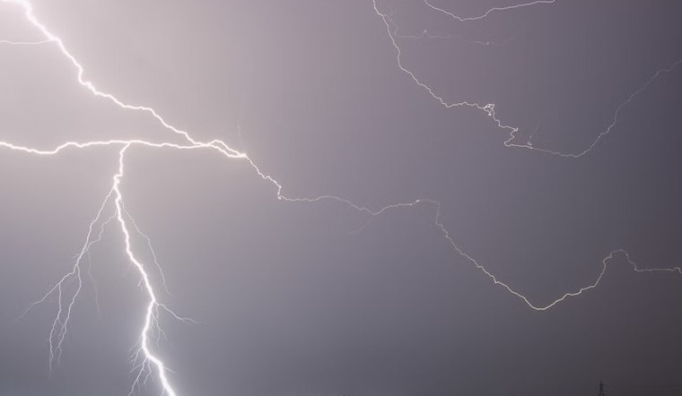
The National Weather Service in Salt Lake City, UT has issued a detailed forecast indicating a series of isolated showers and thunderstorms starting today and carrying on into the following week, with temperature highs vacillating in the upper 80s to mid-90s. As per the latest update, at 7:20 AM MDT, it was mostly cloudy at 75°F with a humidity registering at 47% and a barometric pressure of 30.13 in (1020.32 mb); light winds from the SSE at 9 MPH and a dew point of 54°F completed the current conditions snapshot, as disclosed on the National Weather Service website.
Observing the short-term outlook, today's max temperature is expected to spike near 97 with a calm wind turning northwest at about 6 mph in the afternoon, though the chance of precipitation is pegged at a slight 20%, these projections suggest intermittent bouts of weather that could bring isolated showers and possibly thunderstorms after noon; tonight mirrors a similar forecast with a low around 72 and isolated storms carrying the same incidental probability. Moving into Sunday, the NWS anticipates change, with scattered showers and thunderstorms becoming more prominent both before 9 am and then again after noon, the chance of precipitation surging to 60% against a backdrop of mostly cloudy skies and a high nearing 92, the wind maintaining its northwestern bearing at the same mild pace.
Looking ahead into early next week, Monday is set to experience showers and possibly a thunderstorm with an 80% chance of precipitation and a high approaching 89; in the night, the likelihood of storms diminishes ever so slightly to 60% before a resurgent Tuesday returns to an assertive forecast of showers and probable thunderstorms, the daytime high hovering around 86. The rhythm of rain and rumble continues somewhat undeterred through Wednesday and Thursday, the NWS reported, highlighting that showers and potential thunderstorms are mostly assured as we encounter a cooler phase, with highs descending to near the 80s whilst nightly lows rest in the low 60s.
As the week rolls onwards towards Friday, the persistence of precipitation only marginally falters; while beginning in a mostly sunny state, there remains a tangible prospect of showers and thunderstorms, albeit the high temperature eases up to a more moderate 82 degrees. Throughout the forecast period, calm winds and mostly cloudy conditions hold steady, the tableaux of interrupting showers and thunderstorms punctuating what would otherwise read as another late-August in the vibrant city, nestled between the serenity of mountains and the bustle of metropolitan life.


