The National Weather Service in San Francisco has issued a Beach Hazards Statement, effective through Monday night. There's an increased risk of sneaker waves and rip currents on the coastline, with breaking waves anticipated to reach between 13 and 18 feet. For those planning a beach outing, remember the mantra: Never turn your back on the ocean.
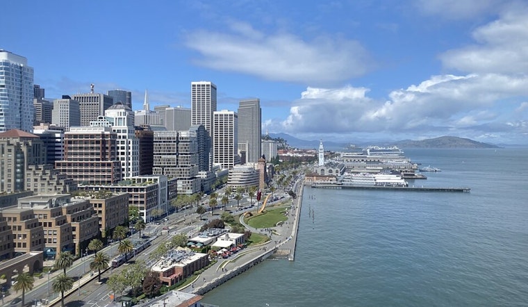
After a period of showers across interior San Benito County, the skies are set to clear up starting today, offering respite and a return to drier conditions, according to updates from the NWS San Francisco. While we've been handed a wet towel over the past few days, the sun is expected to break through, along with temperatures lingering near or slightly above seasonal averages. Highs in the lower elevations of the Bay Area will reach the upper 50s to mid-60s, with the North Bay valleys possibly seeing upper 60s. Meanwhile, for those in the hills, expect cooler conditions in the lower to middle 50s.
As Thanksgiving comes around the corner, so does the next possibility of rain, forecast to arrive the day after the holiday. The extended forecast hints at a split scenario, with some ensemble members suggesting a pronounced trough could bring more rain our way, while others lean towards a drier pattern. "The CPC's 6-10 day outlook shows a lean to precipitation totals near the seasonal average for a period from the 26th to the 30th," stated the Area Forecast Discussion.
In terms of marine life, high pressure from the northwest promises to build in through early next week. However, even as the winds relent, boaters and marine enthusiasts should be aware of sustained hazardous sea conditions. A prolonged northwesterly swell indicates that elevated seas will persist through the weekend. For those on land, the Beach Hazards Statement should be taken seriously; regions affected include CAZ006-505-509-529-530, where the statement has been extended through Monday evening. Sneaker waves can suddenly surge unexpectedly far out on beaches, engulfing unaware individuals and potentially causing harm or death. Rip currents tend to be stronger and more frequent around jetties, inlets, and piers. Be cautious and stay vigilant if venturing near the water.
The aviation forecast, which includes significant VFR-MVFR visibility levels and patchy fog across the Bay Area terminals, will impact travelers. VFR conditions will prevail, with some potential foggy patches in the mornings and evenings. Flights out of SFO should expect north-northeast winds shifting to west-northwest later today, while Monterey Bay flyers will see similarly light and varied winds. It's all part of the ever-changing dance between earth and sky that pilots navigate daily, a dance that remains, as ever, delicately perched on the whims of the weather.


