The National Weather Service in San Francisco has issued a Beach Hazards Statement effective from Wednesday morning through Friday evening. This alert warns of an increased risk of sneaker waves, strong rip currents, and large breaking waves of 12 to 16 feet along the Pacific Coast beaches. The NWS San Francisco advises the public to stay off waterside infrastructure and to practice caution around the ocean during this time.
As for weather patterns, the North and East Bay regions have been experiencing persistent fog and stratus, a situation that's unlikely to change given the current high-pressure conditions. "Tule fog and stratus continue with very similar coverage to 24 hours ago," states the Area Forecast Discussion from the National Weather Service. The forecast remains challenging due to the sharp contrast between the thin, cool layer of air beneath the clouds and the warmer air above.
Looking ahead to the long-term forecast, temperatures are expected to rise slightly each day through Friday, with some potential for light rain starting next week. The weather pattern is set to become more active, but substantial rain isn't strongly indicated in the near future. The forecast acknowledges the massive range of possible rainfall amounts; however, the most reasonable estimates place us in a drier scenario with moderate temperatures continuing.
For those planning to fly, aviation forecasts predict some improvement in visibility for North Bay terminals, with persistent weather patterns leading to a forecast that banks on the continuity of current conditions. "Higher confidence in clearing out of the fog and stratus today for North Bay terminals," the NWS aviation discussion claims. However, the presence of patchy stratus around San Francisco Bay introduces uncertainty, particularly for nearby terminals where VFR (Visual Flight Rules) conditions are anticipated to continue.
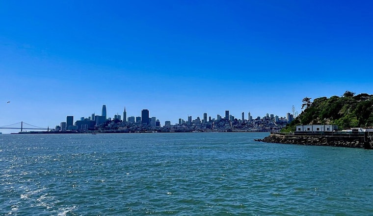
Mariners should take note that northerly breezes will persist in outer waters, calming closer to shore. Light offshore easterlies will also impact the San Francisco Bay and Delta areas. The incoming northwesterly swell, expected to arrive on Wednesday and linger into the weekend, raises concerns for those at sea and along the coast.


