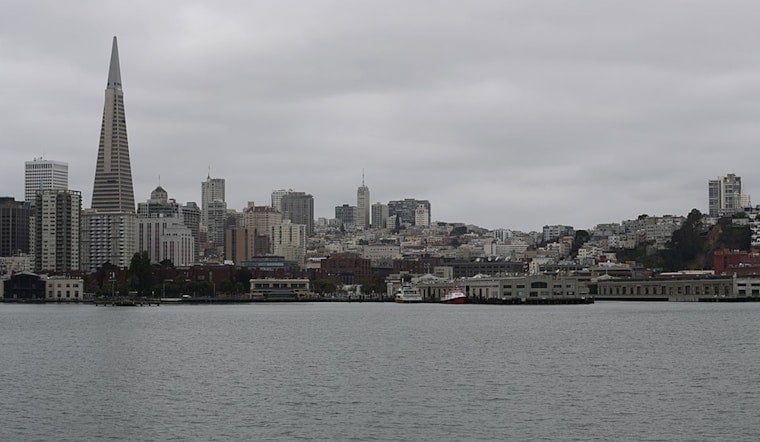
Bay Area residents, brace yourselves for a wetter-than-usual week ahead. The National Weather Service in San Francisco is forecasting a series of rainstorms that will drench the region starting Friday and continuing through the next week. According to initial reports by the NWS San Francisco, light, potentially beneficial rain is expected to mark the beginning of this period, with the first rainfall forecasted for Friday through Saturday. However, travelers and commuters should be prepared for areas with poor drainage and ponding on roadways.
But the skies will only open up from there. Come Saturday evening, a second system rolls in, bringing with it moderate to heavy rainfall that is expected to last through Tuesday evening. The NWS San Francisco warns of "isolated to scattered flash floods" in low-lying and urban areas, with a heightened risk in small creeks and streams, which will likely flood. Just when you thought you could unpack your umbrella, a third system is slated to hit the Bay Area and Central Coast from Tuesday through Friday, cranking up the risk for larger river flooding as the week progresses.
In their latest Area Forecast Discussion, the National Weather Service detailed the forecast further, stating, "Moderate to heavy rainfall returns Saturday and will persist through at least Thursday." They also highlighted that impactful wind is set to return on Tuesday, which could exacerbate conditions and contribute to further tree damage and power outages.
The forecast discussion also raises concerns over the impact on the Pickett Fire burn scar area. Despite mostly beneficial rain today, high-resolution models indicate that the burn scar is approaching its hourly rain rate threshold, posing a risk that warrants mention for those in proximity. As the week continues, the threat of flooding shifts from beneficial rain into potentially impactful weather, with the National Weather Service considering the activation of a Flood Watch beginning as early as this weekend. Back-to-back systems and persistent moisture are likely to result in rainfall transitioning "from beneficial to impactful with at least some impacts expected by Sunday," according to the NWS statement.
For coastal regions and those out at sea, be advised that the NWS Marine forecast anticipates "hazardous seas," particularly starting early to mid-next week with the arrival of the second and third systems. Boaters can expect moderate to fresh gusts through the weekend, with the first system in effect, followed by increasing risks as heavy rains and strong winds develop by Sunday, persisting for much of the next week.


.jpg)