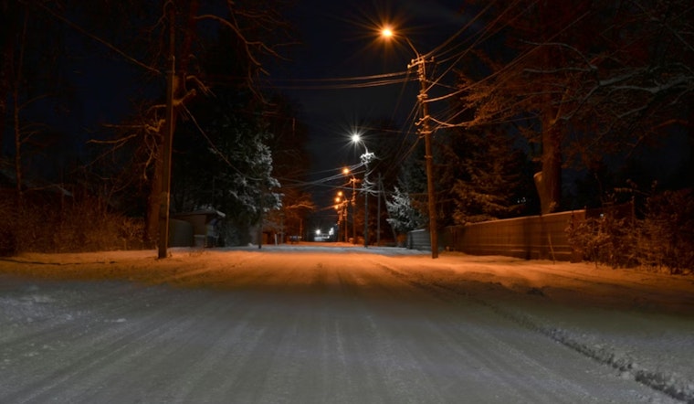
Residents in Indianapolis and surrounding areas are being advised to exercise caution as the National Weather Service forecasts a blend of winter weather conditions. According to the NWS, patchy drizzle, alongside snow and freezing rain, created slick conditions early this Sunday morning, which may persist throughout the day. With humidity levels at a dense 92%, visibility has been reduced to 5 miles, making for a treacherous morning commute. As temperatures hover around the freezing mark, the risk for icy surfaces continues with a high near 37 expected today.
The situation is expected to further develop as we head into the night, with mostly cloudy skies and lows plummeting to around 18 degrees. "Light snow accumulation is possible Thursday and Thursday night. Very cold conditions with below zero wind chills is possible beginning Friday," the NWS indicates, alerting to a stretch of wintry weather ahead. A Hazardous Weather Outlook has also been issued for central Indiana, encompassing an array of counties, signaling the potential for additional light snow accumulations and frigid temperatures.
Special attention has also been given to a zone of light freezing rain and drizzle traversing central Indiana early this morning. As quoted from the NWS's Special Weather Statement, "Any ice accumulation is expected to be very light, but could be enough for a very thin glaze in isolated areas." Commuters have been warned to watch out for slick spots and to exercise caution on untreated roadways and pedestrian areas such as stairs and sidewalks.
Moving into the week, Indianapolis residents can anticipate a rollercoaster of weather conditions. Tomorrow promises mostly sunny skies with a high near 30, though things take a turn with chances for rain and snow showers commencing Wednesday night and persisting through Saturday. The NWS stresses the importance of staying informed via their site for any additional updates and climate information, as well as urging spotters to report any snow accumulations experienced on Sunday.


