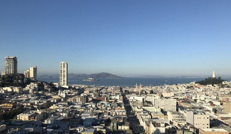
The forecast for San Francisco this week appears to be a monotonous stretch of sun-drenched days, with no immediate end to the dry spell in sight. According to the National Weather Service, San Francisco, CA, morning fog will continue to blanket the valleys across the Bay Area, while temperatures struggle to reach beyond the lower 60s under the morning stratus. The persistence of this pattern echoes that of the past weeks, as the fog and low clouds are expected to clear gradually throughout the day.
SFO specifically may see visibility drop below 3 miles due to the fog, especially between 5 AM and 10 AM, given the light north-northeast winds over the Bay. This specific wind condition traditionally increases the probability of low visibility incidents at the airport. Delving into historical probabilities, "the visibility at SFO drops below 3 miles 8% of the time in December between 5AM and 10AM," reports the NWS San Francisco. Furthermore, winds from the northwest are less likely to bring low visibility, occurring only 4% of the time. Meanwhile, according to the 7-day forecast from the National Weather Service, San Franciscans can expect sunny skies with highs oscillating between 54°F and 64°F, and nights bringing patchy fog and lows in the high 40s.
An observable high-pressure system dubbed the "ridiculously resilient ridge" continues to shield California from much-needed rain. The absence of precipitation has lasted 17 days in San Francisco and is predicted to continue well into the mid-20s, although this is not an uncommon occurrence for the season. "There have been 54 instances of a dry spell lasting 24 days or more between November and March since 1849," according to the NWS statement. The chance of such an extended drought happening at any given winter is as high as 31%. However, the forecast has an optimistic slant with the promise of rain expected around December 15, signaling a potential break in the persistent dry pattern.
Mariners should prepare for moderate to fresh north to northwest winds in the southern waters, with a slight reprieve as wave heights begin to decrease. The NWS Marine report advises that a new swell from the northwest is anticipated by Wednesday, which will likely persist through to the end of the week. Simultaneously, a small craft advisory remains in effect until Tuesday morning for Pt Pinos to Pt Piedras Blancas and will extend to Wednesday for certain areas.


