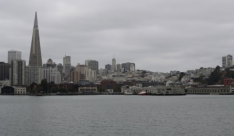
The Bay Area is facing a bout of severe weather conditions through the weekend, as reported by the National Weather Service San Francisco CA. A Coastal Flood Advisory is currently in effect and is expected to last until 2 PM Sunday for the Pacific Coast and Bay Shorelines. The National Weather Service warns of "up to 2.5 ft of inundation above ground level is possible in low-lying areas near shorelines and tidal waterways." This comes alongside a forecast of strong southerly winds, anticipated to reach speeds of 15-25 mph with gusts up to 50 mph starting Friday afternoon and continuing into midday Saturday.
In addition to these warnings, the Bay Area should brace itself for minor to moderate coastal flooding around high tide through Sunday, particularly due to the combination of high astronomical tides with storm surge, as mentioned in a statement by the NWS. Anticipating the weather's progression, we understand there will be daily rain likely through early next week, and that strong southerly winds are expected Friday night. Notably, these winds could contribute to storm surge thanks to the Ekman Transport, enhancing the astronomical tides and flooding threat.
The weather service detailed in its Area Forecast Discussion that the troposphere has become saturated, with the low level dry layer eliminated. With the absence of a lifting mechanism so far, rain rates were held in check. However, an approaching occluded front is expected to increase rainfall intensity and possibly bring thunderstorms to certain areas in the early hours of the morning. Following the front, a break is likely with isolated to scattered showers anticipated for the rest of the day and into Friday.
Looking at the longer-term perspective, the Bay Area's respite from rainfall is predicted to persist for most of Friday before a significant storm front arrives Friday night. This new system could potentially trigger strong showers and thunderstorms into Saturday morning, bringing gusts reaching 40-50 mph along the coast and in higher terrains. While the forecast suggests that winds might not be as hefty as those from last week, certain consequences like tree damage and power outages are still expected.
As for aviation and marine interests, the National Weather Service foresees light to moderate winds through the period with light showers in the morning, which should decrease by late morning and early afternoon. Expect predominantly light showers to return in the evening and clear by early Friday. Meanwhile, for the beaches, the convergence of the full moon, lunar perigee, and perihelion is bringing about especially high tides through Sunday, compounded by potential storm surge induced by the strong southerly winds.
Moving forward, the region should prepare for continued unsettled weather patterns until at least the 8th or 9th of January. Residents in affected areas are encouraged to heed the advisories and plan accordingly for potential impacts from flooding and strong wind conditions.


.jpg)