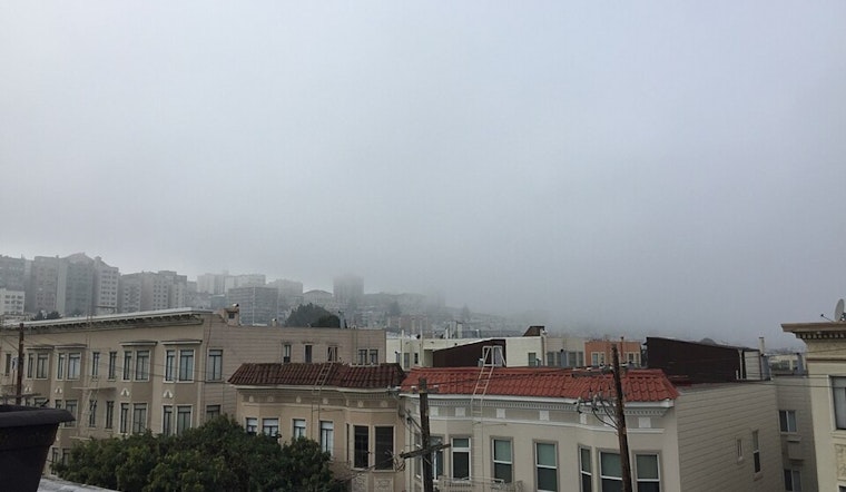
The Bay Area is waking up to patches of fog this morning, including limited visibility in the North and East Bay Valleys, as reported by NWS San Francisco. Commuters in these regions are advised to budget for additional travel time, as locales like Byron and Concord are experiencing severely reduced visibility.
Following several weeks under a high-pressure system, our region is bracing for a cooler turn as a cut-off low drifts down the California coast. According to the latest forecast, we're due to see temperatures return to more typical levels, with highs ranging from the upper 50s to the low 60s. This change is also ushering in a chance of light rain late Wednesday into Thursday, primarily for the Central Coast, though any rainfall is expected to be minimal.
The shift in weather patterns means that the Santa Lucia Range and parts of the Monterey Peninsula might receive isolated showers, but don't hold out for a deluge. "The current forecast grids show less than 0.10" of accumulated precipitation across the Central Coast," noted NWS San Francisco. Interior San Benito County and potentially as far north as Santa Cruz County could also see some isolated showers.
Looking ahead, as the offshore low moves inland, a ridge is set to re-establish itself, leading to a pattern of dry and seasonal weather from Friday into next week. Morning lows are expected to fall further, possibly reaching the mid 30s in some areas by Sunday. While the oncoming winds over the weekend might pick up, with models indicating a 30-40% chance of gusts over 30 mph in the Interior North Bay Mountains, these are projected to remain confined mostly to higher elevations.
For aviation interests, VFR conditions will prevail for the most part, with the exception of some early morning patchy fog and a few showers that might develop tonight and Thursday morning. For those out at sea, the NWS San Francisco marine forecast suggests gentle to moderate northerly breezes with moderate seas persisting through Thursday, followed by stronger winds and rougher seas on Friday.
And while the immediate forecast may be dry, looking further out, there's a hint at a more significant wet pattern poised to return late January into early February.


