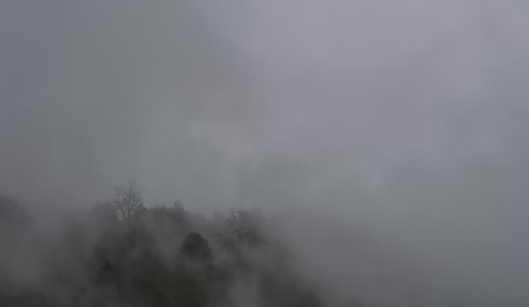
The city of Seattle woke up to a rather peculiar weather phenomenon this morning, as the National Weather Service (NWS) Seattle WA reported an occurrence of freezing fog. Hovering at a chilly 31°F and boasting a humidity level maxed out at 100%, the fog has blanketed the city, cutting down visibility to a mere half mile and giving the air a bite with a wind chill of 27°F.
While the fog is expected to clear, the forecast from the NWS suggests a rather calm weather pattern setting in. Residents can anticipate a mostly cloudy day today, with a peak at a much more agreeable 43 degrees and negligible winds providing some reprieve; tonight, the clouds persist and the temperature hovers lightly around 33 degrees, which is just above freezing, it's a perfect recipe for a quiet winter's evening in the Pacific Northwest.
Looking ahead to the weekend, the weather takes a mild turn for the better. Tomorrow is projected to be sunny with highs brushing against the mid-40s, accompanied by a gentle north breeze oscillating between 3 to 6 mph, and for those planning their evenings, tomorrow night's skies are predicted to be mostly clear with lows dipping to about 30 degrees, according to the NWS detailed forecast.
Seattleites enjoying the start of their weekend will be greeted with mostly sunny days both Saturday and Sunday; high temperatures will stay consistent near 44 degrees, waters calm, wind a soft whisper across the city's landscape, the nights bring a chill, with partly cloudy skies and lows floating just above the freezing mark, now that's some stable weather to plan outdoor activities, or a brisk walk in one of the city's many parks.
As the new week rolls in, the NWS projects a slight rise in temperatures leading up to Tuesday, with partly sunny skies and highs stretching to a near 50 degrees.


