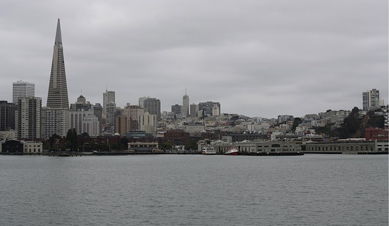
San Francisco started Saturday on the chilly side, with a cool, mostly cloudy morning, temperatures in the upper 40s to low 50s, and a light north-northeast breeze. Skies are expected to turn partly sunny around midday with a high near 64°F, before slipping back into the upper 40s overnight.
According to the National Weather Service San Francisco, a Coastal Flood Advisory is in effect for the San Francisco and Monterey Bays through noon Sunday, and a Beach Hazards Statement remains in place through 9 a.m. Monday. The advisory highlights a high tide at the San Francisco tidal gauge around 9:30 a.m. Saturday, which is near 1.3 feet above normal, along with long-period swell capable of producing breaking waves of 14 to 19 feet and a heightened risk of sneaker waves and strong rip currents.
Safety And Local Impact
Minor flooding is possible in low-lying parking lots, parks, and shoreline roads near the peak tides, with only isolated road closures anticipated. If you need to travel near the bay, build in extra time, steer clear of standing water, and stay off piers, jetties, and rocky shorelines. Do not go into the water because of the dangerous surf and strong currents.
When To Expect It And The Week Ahead
The main flooding concern lines up with the morning high tides on Saturday and Sunday. The advisory covers the highest tide on Saturday morning and again late Sunday morning. Away from the immediate bayshore, the rest of the weekend should stay dry and mild, with highs in the low to mid 60s, patchy fog early Sunday, and sunshine returning later in the day. Temperatures are expected to remain above seasonal averages into next week.
For local context on recent king-tide flooding and shoreline effects earlier this month, see reporting from the San Francisco Chronicle. Keep an eye on the NWS page and local media for updates before heading to the coast.


.jpg)