Memphis is waking up to mostly clear skies and mid‑50s temps at Memphis International Airport early Saturday, February 14, 2026, but the quiet start will not last. Southeast breezes are already picking up, and rain is set to move in through the day, with a high near 65°F and on‑and‑off showers into the afternoon. The real troublemaker is expected Saturday night into Sunday morning, when heavier rain and thunderstorms could turn travel slow, wet, and downright miserable.
Timing And Travel Impacts
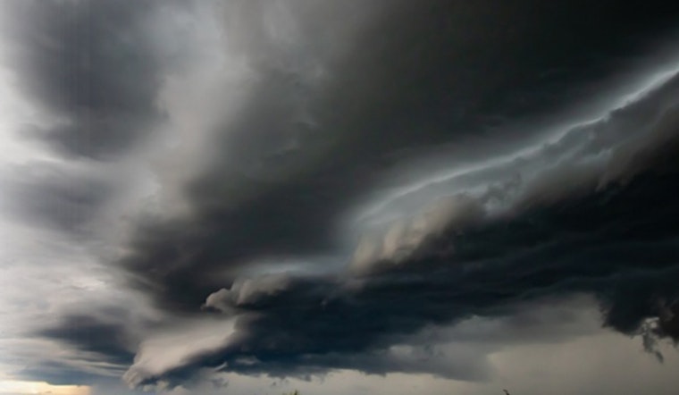
Showers will ramp up Saturday evening, with the most intense window between midnight and 6 a.m. Sunday, February 15, 2026. During that stretch, thunderstorms could dump 1.5 to 2 inches of rain across the Mid‑South. According to the National Weather Service, that overnight period brings the highest risk for flooding on ground that is already saturated.
Where Flooding Is Most Likely
Forecasters note that soils remain soggy north of I‑40 after a late‑January snowmelt, which means even moderate additional rainfall could spark localized urban and small‑stream flooding. Low‑lying areas and stretches along the I‑40 corridor are especially vulnerable. Drivers are urged to avoid plowing through standing water, heed detours, and pad their travel time if they have to be out late Saturday night or early Sunday.
Wind Threat And Next Week
On the backside of the system, a sharp pressure gradient could kick up a brief burst of strong winds. Forecasters say a wake‑low setup might whip up gusts of 40–50 mph across the Mississippi Delta for a few hours Sunday afternoon. Once the system finally moves out, a much friendlier pattern returns next week, with warm, dry weather and highs climbing into the mid‑70s by Wednesday, February 18, 2026.
Update
This article updates our coverage from yesterday; for background, see our earlier look at the Valentine's weekend washout. Keep an eye on the National Weather Service and local officials for any watches or warnings before you hit the road.


