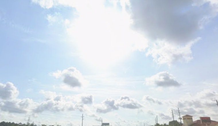
Seattle saw a chilly start on Monday with partly cloudy skies and 34°F at Boeing Field. Rain is expected by midmorning, with highs in the low 40s and possible brief rain-snow mix tonight, causing wet roads and slower commutes.
Midmorning Rain And The Commute
Showers are most likely after 8 a.m., with bands of rain lingering through the afternoon and totals generally staying under a tenth of an inch for most neighborhoods. South winds will run about 2 to 10 mph, with a few inland gusts this afternoon, and visibility may dip for short stretches in heavier showers. According to the National Weather Service Seattle, there is a 20% chance of thunder along the coast today, and the overall pattern will keep highs a couple of degrees cooler than normal.
Where Snow Could Mix In
The real snow story stays in the higher terrain, with most of the accumulating flakes targeting the Olympics and Cascades. Forecasters say snow levels will drop late Monday into Tuesday and could sink low enough for a few flakes in some lowland spots. The U.S. 101 corridor from Forks to Lake Crescent has the highest lowland snow risk, with model guidance pointing to an elevated chance of around an inch in that stretch. That section of highway is being watched for possible travel impacts and a winter weather advisory. In the mountains, expect light accumulations, roughly 1 to 2 inches in the passes and about 3 to 6 inches on the higher peaks through Tuesday. For background on the larger pattern, see our earlier update.
Coastal Waters And Boaters
Conditions on the coastal and offshore waters will get rough. A Small Craft Advisory kicks in for parts of the outer coast starting at 4 p.m. Monday and runs into early Tuesday, with seas building to around 10 to 13 feet late Monday into Wednesday before they ease back down. Mariners and ferry riders should anticipate bumpy rides and check the latest marine forecast before heading out. If you are planning trips along more exposed stretches of the coast, it may be worth waiting until the seas calm down.
Plan Ahead
Bottom line: grab a waterproof layer, leave a little extra time for the drive, and check WSDOT and local transit for any pass or service advisories before you go. Updates will follow if advisories change, but for now most neighborhoods look set for light precipitation while the Olympics and Cascades collect the bulk of the snow.


