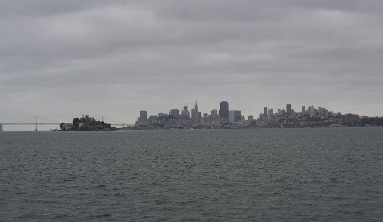
San Francisco woke up damp and mild at about 54°F this morning, as a low off the Central Coast keeps clouds and scattered showers streaming through the city. Rain is likely across the city today, with a window for heavier showers and isolated thunderstorms this afternoon that could turn the commute into a slog.
Forecast Through This Evening
Rain is expected before 1 PM, followed by showers and a few thunderstorms between roughly 1 PM and 4 PM. Highs should top out near 60°F before sliding back into the upper 50s later in the day. South-southeast winds will run about 10–13 mph with gusts around 18–20 mph, and many neighborhoods could pick up a tenth to a quarter inch of new rain.
According to NWS San Francisco, the greatest chance for thunderstorms arrives from late morning into the afternoon, when lift, instability, and moisture briefly line up over the region.
Commute And Marine Impacts
Drivers should plan for slick roads, brief drops in visibility under heavier showers, and ponding on low-lying ramps and intersections during the afternoon commute. Give yourself more braking distance than usual and expect things to move more slowly than a typical midweek drive.
Out on the water, small craft advisories and a Gale Warning are in effect for parts of Monterey Bay and waters south of Pigeon Point, so ferry riders and boaters should check with operators before heading out. For background, see our earlier update on the soaked commute ahead and the SFMTA advisory.
Plan Ahead
Grab rain gear, build extra time into your afternoon trips, and avoid driving through standing water. If lightning is nearby, move indoors and delay boat outings; secure loose outdoor items and tie down tarps where you can. Check updates from the NWS and your transit providers throughout the day, and consider postponing nonessential travel while the heavier cells move through.


_(05).jpg)