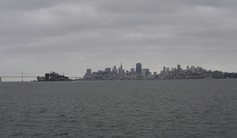
San Francisco rolled today under steady rain, temperatures hovering around 50°F, and a band of showers with a few thunderstorms pushing right through the morning commute. Expect frequent, at times heavy, downpours and blustery onshore gusts that will make biking and walking a slog and could slow buses, trains, and cars alike.
A Coastal Flood Advisory stays in place through mid afternoon, with the San Francisco tidal gauge expected to run about 1.2 feet above normal near the 10:58 a.m. high tide. That is enough to trigger short‑lived ponding along the Embarcadero and other low‑lying bayfront streets. Meteorologists say new rainfall totals of roughly three quarters of an inch to an inch are possible in the city, with locally higher amounts along coastal slopes. According to the National Weather Service, isolated road closures are possible, and drivers should steer clear of flooded intersections.
Showers are likely to start before 7 a.m., then ramp up into periods of heavier downpours with embedded thunderstorms through the late morning and early afternoon. High temperatures will reach only into the low to mid 50s before sliding back into the 40s by late afternoon.
Afternoon Winds Pick Up
By this afternoon, winds shift to the west southwest, generally 16 to 23 mph with gusts up to about 35 mph on exposed hilltops and bridge approaches. Sudden crosswinds could make driving on elevated roadways feel shaky. Boaters and anyone near the water should plan on rapidly building seas and rough conditions, consistent with guidance from the National Weather Service.
Neighborhood Impacts And Commute
Bayfront streets, especially the Embarcadero, are the most likely locations for brief flooding around peak tide, and wet roads across the city will almost certainly stretch commute times. If you have to drive, avoid underpasses and other known low spots, do not attempt to drive through standing water, and allow extra time. Transit and ferry riders should be ready for delays where wind or water affects terminals and approaches.
What To Watch Next
More rain is on tap for tomorrow and into Thursday, with winter‑weather and cold‑weather advisories lingering for nearby hills and higher terrain into midweek. Late Thursday and Friday mornings are expected to be the coldest of the week, so residents who are unhoused or caring for vulnerable people should check local assistance resources.
Quick safety steps include securing outdoor furniture, moving vehicles off low‑lying streets before the morning high tide, and staying clear of the bay during peak tide events. For real‑time updates, follow local emergency management and the National Weather Service, and respect any closures or barricades you encounter.


_(05).jpg)