San Francisco is waking up in the low 50s under mostly cloudy skies as a Pacific low edges toward the coast, and the calm is not going to last. Rain is set to move in after noon today with steadier bands and a chance of thunderstorms building into the evening commute and lingering into Wednesday. Southeast winds will climb this afternoon, especially along exposed hills and the coast, and heavier downpours will make roads slick. Expect slower travel and some bumpy ferry rides into Wednesday morning.
When Rain Arrives
Showers will start pushing into the Bay Area after midday today, with a more solid band of rain arriving during the evening commute and heavier showers plus a risk of thunderstorms continuing into Wednesday morning. Most San Francisco neighborhoods are on track to see roughly a quarter inch to an inch of rain by early Wednesday, while the Santa Cruz and Santa Lucia ranges could pick up 2 to 6 inches through Thursday morning, according to NWS San Francisco. Short, intense bursts could trigger localized street flooding and briefly wipe out visibility.
Afternoon Winds Pick Up
A wind advisory covers nearby Monterey and San Benito counties from 4 PM Tuesday, February 10 through 4 AM Wednesday, February 11, with gusts of 40 to 60 mph possible along the Big Sur coast and ridge tops. Inside the city, expect southeast gusts mainly in the 20 to 30 mph range from this afternoon into early Wednesday, with the punchiest winds on exposed hills and bridges. It is a good time to tie down outdoor furniture and tarps and to skip parking under big trees if you can help it.
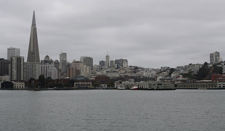
Marine And Commute Impacts
Small craft advisories and a gale warning stretch across parts of Monterey Bay and waters south of Pigeon Point into Wednesday morning, so ferry riders and boaters should brace for rough seas and patchy low visibility. Commuters should budget extra time for Tuesday evening travel; ferry crossings could be choppy and highway ramps will be slick in the heavier showers. This updates our earlier forecast with adjusted advisory timing and stronger coastal gust guidance.
What To Do
Grab rain gear, ease off the gas on wet roads, and avoid driving through standing water. If you live near exposed slopes or tall trees, secure patio furniture and bins; report downed wires or other hazards to 311 and steer clear of them. Check the National Weather Service and your transit provider for updates before heading out.


.jpg)