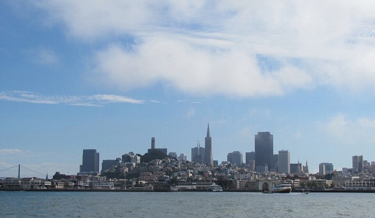
San Francisco woke up today to low clouds, muggy air, and that almost-soggy feel along the waterfront, with temperatures sitting in the mid-50s and humidity near saturation. The marine layer is expected to burn off by late morning, giving way to mostly sunny skies. Afternoon highs should top out near 64°F in the city, a bit cooler right along the shoreline. Enjoy the calm while it lasts, because a frontal push on Wednesday will be followed by strong offshore pressure, setting up gusty northwest winds through Friday.
Afternoon: Fog Burns Off, Sea Breeze Moves In
Once the morning stratus mixes out, look for a mild, breezy afternoon, with west winds generally 2 to 9 mph and peak temperatures in the low to mid 60s. Inland neighborhoods will be the warm spots, while the immediate coast stays a bit cooler. Late in the day, expect readings to slip a few degrees as the sea breeze strengthens and pushes cooler air back onshore.
Midweek Winds Could Pack a Punch
A cold front slides through on Wednesday, then very strong high pressure builds offshore and tightens the pressure gradient. That setup will bring gusty northwest to north winds from Wednesday into Friday. Mariners and coastal residents should pay close attention: the National Weather Service has issued Small Craft Advisories and Gale Watches for portions of the coastal waters, with combined seas and gusts creating hazardous conditions, according to the National Weather Service.
What This Means for Your Plans
Ferry commuters and boaters should bank on choppy rides and rough conditions midweek, and less experienced mariners are advised to seek shelter or adjust plans. On land, gusts over exposed hills and bridge approaches could make things tricky for high-profile vehicles, so it is a good idea to secure outdoor furniture and loose items before Wednesday.
Weekend Outlook: Warmer and Drier
The strong offshore flow should help temperatures climb into the 70s inland by Saturday and Sunday, with sunnier and drier conditions across much of the city. The National Weather Service notes a warming trend through the weekend, which should set up a solid stretch for outdoor plans. Just keep an eye on marine forecasts if your activities take you anywhere near the coast.


