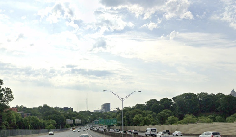
Tuesday, March 31, 2026, is starting on the gray and muggy side across Peachtree City and the wider Atlanta metro, with mostly cloudy skies, patchy fog in some low-lying neighborhoods and mild, sticky air to kick off the day. Sun should gradually break through as the hours go on, sending afternoon highs into the low 80s, although a slight chance of showers or an isolated thunderstorm could complicate the late-afternoon commute.
Morning Clouds And Patchy Fog
Low clouds and spotty fog are expected to hang around ponds, creeks and other low-lying areas through the early morning, trimming visibility on some local roads and making things feel a bit soupy out the door. Our March 4 coverage noted a similar setup earlier in the month; see the soupy start earlier in the month for context.
Afternoon Heat And Scattered Storms
By Tuesday afternoon, temperatures are expected to climb into the low 80s, with south winds around 5–10 mph adding to the warm, humid feel. A slight chance of showers and thunderstorms develops after about 2 p.m., with rain odds near 20 percent. Any storms that manage to fire will likely be brief but could deliver heavy downpours and frequent lightning. Forecasters say the warm, humid pattern sticks around into Wednesday, with highs near 84°F and diurnally driven daily rain chances lingering through the weekend, according to the National Weather Service in Peachtree City.
Week Ahead And What To Bring
Afternoon pop-up storms are on the table each day into the weekend, with the better chances focused on the late afternoon and evening hours. Widespread severe weather is not expected, although a stronger storm cannot be ruled out. It is a good idea to keep an umbrella handy, allow extra travel time for late-day commutes and be ready to pause outdoor activities if lightning moves in. There are no active watches or warnings for the Atlanta area this morning; check radar if you have evening plans and we will update if conditions change.


