Grant County is staring down a potentially dangerous stretch of storms Tuesday night, into the early hours of Wednesday, and local officials want residents ready before the first rumble of thunder. The sheriff's office says the highest-risk window runs from about 8 p.m. tomorrow through 5 a.m. on Wednesday and is urging residents to have multiple ways to get alerts and to go over their severe-weather safety plans now, not once warnings start flying.
What forecasters are saying
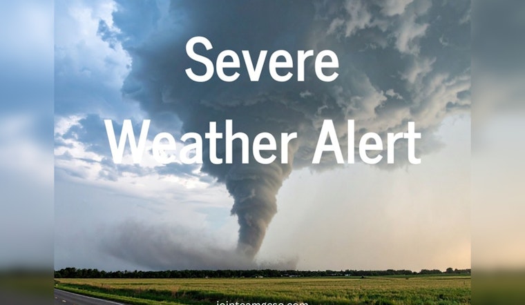
The Storm Prediction Center has placed a broad slice of the Midwest, including portions of northern Illinois into northwest Indiana, under an Enhanced Risk (Level 3 of 5) for Tuesday. That designation signals scattered to numerous severe thunderstorms are possible. Forecasters say the setup could support very large hail, damaging straight-line winds, and isolated supercells capable of tornadoes, with a few storms potentially producing EF2-strength tornadoes. Storms are expected to develop by late afternoon and intensify into the evening and overnight hours, raising the odds of impacts while many people are asleep, according to the Storm Prediction Center.
Local advisory and timing
The Grant County Sheriff's Office is using social media to sound the alarm, urging residents in a Facebook post to "stay weather aware" Tuesday evening and overnight and to have more than one way to receive warnings. The advisory warns that storms may bring large hail up to 2 inches in diameter, damaging winds and tornadoes, and it reiterates the 8 p.m. to 5 a.m. highest-risk window for Tuesday through Wednesday. The post also encourages families to revisit their severe-weather plans and to secure loose outdoor items that could become airborne in strong winds, according to the Grant County Sheriff's Office.
Timing and threats
Forecasters say thunderstorms could begin firing as early as 5 p.m. Tuesday, with rapid strengthening into the evening that may lead to long-lived lines or clusters persisting through the night. The Storm Prediction Center discussion highlights the potential for hail on the order of roughly 2 to 2.5 inches in some storms and a tornado threat where any supercells latch onto the warm front. Damaging overnight winds and heavy downpours that could trigger localized flooding also sit on the table. National coverage describes an enhanced risk corridor stretching from northeast Missouri through northern Illinois into northwest Indiana, underscoring that Tuesday night’s threat is part of a broader regional setup, according to The Washington Post.
How to prepare
Emergency managers say a few simple moves now can pay off later. Charge phones and external battery packs, check that wireless alerts are enabled, and program a NOAA weather radio if you have one. Pick out an interior room on the lowest floor or a basement spot where everyone in the household can go quickly if a warning is issued.
NWS Indianapolis is using Severe Weather Preparedness Week to remind Hoosiers what to do when storms escalate. As part of that effort, a statewide tornado drill is scheduled for 10:15 a.m. tomorrow, with a backup date on Wednesday if hazardous weather is occurring at the original time. Officials continue to stress the importance of having multiple ways to receive warnings, especially when the worst of the weather is expected to arrive overnight, according to NWS Indianapolis.
Local resources
For hyper-local information, including shelter options and real-time alerts, residents are urged to monitor county emergency channels along with the city’s news-and-weather resources page. That hub directs people to the Grant County EMA and official social media feeds where updates are posted as conditions change. Local agencies note that outdoor sirens and routine community tests are useful but do not reach everyone, especially indoors, and personal alert methods remain the quickest way to receive a life-saving warning. Details on shelter locations and alert sign-ups are available through the city’s online resources, according to the City of Marion.


