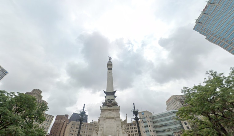
Today will start on the gray and chilly side in Indianapolis, with mostly cloudy skies and mid-30s readings, around 36°F at Indianapolis International Airport. The day stays mostly dry, with just a slight shot at some light snow late this morning before temperatures climb toward a high near 51°F, then ease back into the upper 40s by late afternoon.
Today: Light Snow Chance, Mild Afternoon
Skies will hang on to that mostly cloudy look, and there is only about a 20% chance of light, wet snow between roughly 10 a.m. and 1 p.m. East-northeast winds will stay on the light side at 2 to 8 mph. Most streets should remain just wet instead of icy, although a brief burst of wet snow is possible across the northern half of the metro. Plan on a high close to 51°F, with temperatures slipping a bit into the upper 40s later in the afternoon.
Sunday Night: Strong Southerly Winds and Severe Risk
Sunday, March 15 brings a sharp warmup, with highs surging to around 71°F as south winds pick up through the day. The main show arrives late Sunday night, with showers and thunderstorms expected mainly between about 8 p.m. and 5 a.m. Monday, March 16. Forecasters say damaging straight-line winds are the primary concern, and a few tornadoes cannot be ruled out. For the latest watches, warnings, and timing details, check NWS Indianapolis.
Monday Into Midweek: Rain, Snow, Then a Cold Snap
The front is expected to push through before dawn Monday, March 16, with showers shifting to rain and then to snow. Most areas are expected to see less than an inch of accumulation, while highs struggle to reach about 31°F. Gusty west winds around 20 to 25 mph, with higher gusts, could make roads slick and lead to scattered power issues Monday into Monday night. Colder air settles in on Tuesday, with highs near 30°F, lows in the teens, and wind chills near zero possible Tuesday morning. You can read more background in our March 10 forecast on near-record heat before stormy night threat.
What to Know for Your Plans
If you have Sunday evening plans, be ready for conditions to deteriorate quickly as storms move in and winds strengthen. It is a good idea to secure loose patio furniture and keep an eye on tree branches near power lines. Air travelers should check with their airlines and Indianapolis International Airport if they are flying Sunday night into Monday. Drivers may want to allow extra time for the Monday morning commute in case roads pick up slush. We will post updates if watches or advisories are issued.


