Indianapolis is waking up to a cloudy, almost summer-style this morning, with temperatures already around 63°F and muggy dewpoints that feel more like June than March. Forecasters are calling for a high near 75°F this afternoon, which will likely nudge past the daily record of 74°F.
Afternoon Heat And Gusty Winds
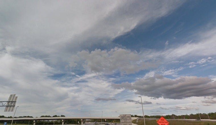
As the day heats up, south-southwest winds will kick in, generally around 8 to 12 mph with gusts up to about 20 to 25 mph. Expect it to feel breezy on open stretches of I-465 and across area bridges. Combined with the humidity, it will be a sticky afternoon, so factor in a little extra time if you have an outdoor commute or late-day errands.
Storms Rolling In Tonight Into Wednesday
Showers and thunderstorms are expected to fire up late tonight and sweep across central Indiana tomorrow morning. Isolated storms could pop between about 9 p.m. and midnight, with activity becoming more widespread after midnight. Stronger cells may bring heavy downpours and a multi-hazard severe threat, including damaging winds, large hail and the potential for tornadoes. Most spots are projected to see around 1 to 1.5 inches of rain, with some localized higher totals, according to NWS Indianapolis.
Flooding Concerns South Of I-70
Rivers and creeks south of I-70 are already running high from recent rainfall, and another soaking tonight could extend or worsen minor to moderate flooding in low-lying neighborhoods and along rural roads. Drivers could encounter ponding on surface streets and closed county roads. Local outlets have been tracking the flood watch and commute headaches in recent days through detailed flood fears coverage.
What Comes After The Front
Rain should ease Wednesday evening, with skies clearing later at night as a much cooler air mass settles in for Thursday. Highs will tumble into the 40s, and lows will dip into the low 30s by early Thursday morning. Gusty northwest winds Wednesday night into Thursday could reach 30+ mph, so it is a good idea to secure loose outdoor items and brace for scattered travel impacts as the front moves through, per the latest guidance from NWS Indianapolis.


