Jacksonville is starting the week in a sticky haze, with mostly clear but muggy skies and patches of locally dense fog hanging on through about 10 a.m. The fog could slow the morning commute in spots. By afternoon, highs are headed into the mid‑80s, around 84°F inland, while the coast runs a couple of degrees cooler as the sea breeze kicks in. Light west winds will turn southerly tonight, and the humidity is going nowhere.
Foggy Mornings, Sunny Afternoons
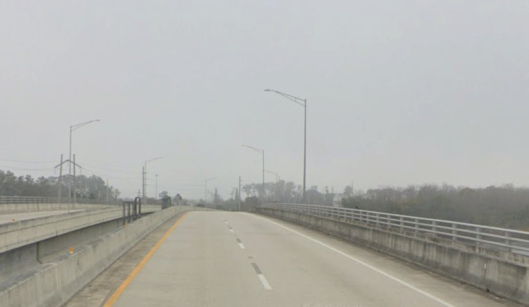
Through Wednesday, expect areas of patchy to locally dense fog in the predawn hours, especially near river valleys, bridges, and low‑lying neighborhoods. A couple of hours after sunrise, the fog should burn off and give way to mostly sunny skies and a warm afternoon across most of the metro. The National Weather Service in Jacksonville is flagging reduced visibility and on‑and‑off slowdowns for the morning commute on several days this week.
Heat Through Midweek; Record Highs Possible
Inland neighborhoods will feel the heat most, with temperatures pushing into the upper 80s and flirting with 90 on Tuesday and Wednesday. Coastal spots should stay in the low‑80s, thanks to the daily sea breeze. Tonight’s low will only slip into the mid‑60s, keeping things warm and muggy even after dark. For more on the warming trend and the potential to challenge record highs, check out our recent heat trend breakdown.
Beach And Marine Hazards
A moderate rip‑current risk will stick around at northeast Florida beaches into midweek as onshore swell and southeasterly winds hold steady. A stronger front is expected Thursday, bringing showers and thunderstorms likely after mid‑morning. Widespread rainfall totals of 0.25–1 inch are on the table, with localized heavier cells capable of 3–4 inches and brief urban flooding. Small‑craft‑advisory conditions are likely Thursday night into Friday morning, so mariners and beachgoers should plan ahead, according to the National Weather Service in Jacksonville.
In the meantime, build in some extra time for morning travel, use low beams in fog, and stay out of the water outside lifeguarded areas when rip‑current flags are flying. Keep an eye on updated forecasts before heading to the beach or taking the boat out, since conditions can turn quickly. We will post updates if any advisories are issued later in the week.


