New national maps are putting hard numbers to a question that has hovered over San Francisco for decades: how much money are downtown freeways leaving on the table? A sweeping analysis traces long bands of highway right‑of‑way through U.S. city centers and estimates that, if reclaimed and redeveloped, those corridors could be worth billions. For San Francisco, a city that already tore down pieces of the Embarcadero and the northern Central Freeway decades ago, the findings offer new math for leaders who weigh traffic fears against land value and neighborhood life.
As reported by Bloomberg today, the report maps the economic toll that downtown freeways exact on 142 U.S. cities and tallies what that land might be worth if developed. The package combines interactive maps with city‑level estimates, turning decades of carved‑out right‑of‑way into dollars and acres that are easy to compare. The reporting shifts the frame, treating these roads not only as traffic infrastructure but also as missed development opportunities.
What the maps show
The visualizations underline what historians and planners have argued for years: many mid‑century highway routes cut straight through low‑income and predominantly Black neighborhoods, leaving behind long‑term economic and social damage. That damage is the basis for current federal efforts to revisit those planning choices; experts have highlighted the need to study, cap or remove physical barriers created by earlier highway construction.
In the federal policy world, advocates and analysts point to a growing toolkit for cities trying to unwind those harms. The Eno Center for Transportation has tracked new grant programs that help communities plan and pay for reconnecting neighborhoods split by highways.
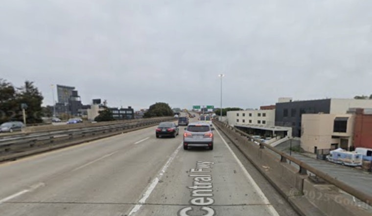
San Francisco's playbook
San Francisco already offers a real‑world case study. The Embarcadero Freeway came down after the 1989 Loma Prieta earthquake, and the damaged northern stretch of the Central Freeway later gave way to Octavia Boulevard and new development. Planners often cite those projects to show how reclaiming highway land can produce parks, housing and walkable streets while dialing back noise and air pollution.
SPUR and other local planning groups have chronicled how the boulevard conversion and waterfront overhaul reshaped nearby neighborhoods and opened up parcels for new uses.
Big‑city precedents
On a bigger stage, the Big Dig in Boston, which buried the Central Artery and created the Rose Kennedy Greenway, remains the headline example of turning a highway corridor into civic space and development sites. The Federal Highway Administration points to the Greenway and the adjoining parcels as some of the most visible outcomes of that mega‑project.
Other cities, including Buffalo and Syracuse, are now pursuing their own reconnection efforts and federal planning grants. Federal and local officials have promoted planning awards and community campaigns as early steps toward decking or removing divisive ramps. Coverage of these local pushes includes work by the Restore Our Community Coalition and statements from lawmakers such as those from Sen. Schumer's office.
Where the money comes from
Federal programs created after the 2021 infrastructure law are trying to turn political momentum into actual cash. The Biden administration and the Department of Transportation have directed planning and construction grants to projects that study caps, decks, retrofits and removals, and say that together these discretionary funding streams roughly match the billions that Congress earmarked for reconnection work. The Department of Transportation announced a set of awards in January 2025 and outlines the broader funding structure for the program.
Analysts and program managers caution that the demand is much higher than the available money, and applications have far outpaced funding, which means that maps quantifying development value could give cities an edge when they compete for limited grants. The rollout and intense interest in the program have been tracked by the American Planning Association and in DOT award notices.
The new maps do not resolve the political tradeoffs. Traffic modeling, displacement risks, environmental cleanup and financing remain contentious topics. What they do change is the ledger. For San Francisco, where earlier freeway removals already opened land for housing and parks, the Bloomberg mapping hands local officials a clear economic argument to weigh alongside congestion forecasts and neighborhood impacts. The debate over whether to keep, cap or reinvent downtown highways is now framed as much in dollars per acre as it is in lanes per hour.


