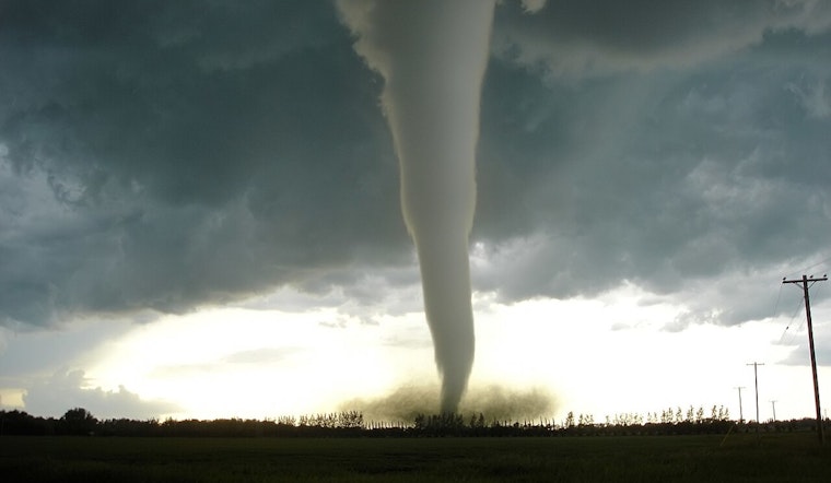
The National Weather Service’s Storm Prediction Center is about to give its severe-weather outlooks a serious upgrade. Starting March 3, 2026, a new “conditional intensity” layer will be added to the daily forecasts, allowing forecasters to highlight not just where storms may pop up, but how brutal they could get. That means a single rogue storm with extreme impacts can be flagged for extra attention even on a day when overall storm coverage is expected to be low. The goal is to better spotlight rare but high-impact events such as long-track violent tornadoes, extreme hail, or destructive derechos.
How the new conditional intensity works
Conditional intensity is essentially an extra “intensity” overlay on the SPC Day 1-3 convective outlooks. Patterned hatching will mark areas where the higher-end hazards are a concern. According to the Storm Prediction Center, these are grouped into three Conditional Intensity Groups (CIG1-CIG3) for tornadoes and wind and two groups for hail, all derived from 20 years of mesoanalysis data to pin down the probabilities of stronger events.
In those groupings, the probability of EF2+ tornadoes climbs to about 20% at CIG1, around 30% at CIG2, and roughly 40% at CIG3. For EF3+ tornadoes, the odds rise to about 6%, 12%, and 19% for CIG1 through CIG3 respectively. In other words, the shading is meant to say, “If a storm fires here, it has a much better-than-usual chance of being a real bruiser.”
What winds and hail will look like
The update also turns up the detail on wind and hail threats. Damaging wind gets all three intensity levels, while hail uses two. That gives forecasters a clearer way to signal whether a storm could deliver extreme gusts or something like softball-sized hail instead of more run-of-the-mill severe weather.
Examples highlighted in SPC materials and in coverage include a Level 1 wind setup with peak gusts topping 74 mph and higher levels linked to bow-echo or derecho-style behavior. Hail at Level 2 points to long-track supercells capable of producing very large stones. Weather.com notes that these schematics are intended to draw a clearer line between widespread but lower-intensity events and isolated storms that could be catastrophic.
Behind the change
According to NOAA, SPC forecasters have been testing conditional intensity forecasts experimentally since late 2021 and fine-tuning the approach for more than four years before deciding to roll it out operationally. The familiar five-tier outlook categories, from marginal to high, are not going anywhere. The new label is “conditional” for a reason: it speaks to how intense a storm might be if it actually develops, rather than how likely storms are to form in the first place.
NOAA says the new graphics and updated PTS-format output are scheduled to debut with the 1630Z Day 1 Convective Outlook on March 3, 2026, although that start time could be pushed if a substantial severe-weather threat materializes that day and forecasters decide not to introduce a new product in the middle of an ongoing outbreak.
What this means for you
Meteorologists say this tweak is designed to cut through complacency on days when only a few storms are expected but any that do form could be especially nasty. Liz Leitman and other SPC staff told The Washington Post that the traditional probabilities describe how widespread storms might be, while the new intensity groups describe how strong the worst storms could get. Used together, they are meant to help broadcasters and emergency managers shape more precise messages about the risk.
For households, the advice remains the same as ever: have multiple reliable ways to receive warnings, know where you will shelter long before the sirens ever sound, and remember that it only takes a tiny number of storms to cause outsized damage.
SPC outlooks, sample graphics, and technical information are available on the agency’s conditional intensity information page, and forecasters say they will add training materials and a longer explainer video as the rollout continues. The Storm Prediction Center also notes the addition of 75% and 90% wind probability contours and updated PTS-format output; see the Storm Prediction Center for maps and detailed probability-to-category tables.


