Clouds, chill, and a whole lot of damp are on tap for Portland this morning, with temperatures sitting near 39°F, light winds, and a stubborn low cloud deck. Showers are expected to become more widespread as the day wears on, with afternoon highs close to 49°F and southwest gusts up to about 20 mph. Forecasters say rain could briefly flip to a rain and snow mix Monday night into Tuesday in the West Hills and other higher spots, while the Cascades hang on to steadier mountain snow.
What To Expect Today
Showers are likely for most of the day, and it may feel like the city never quite dries out. Scattered downpours are possible, especially later in the day, with highs near 49°F and a roughly 70 percent chance of measurable rain. According to the National Weather Service in Portland, snow levels should fall from about 1,500–2,000 feet today to near 500 feet overnight. That brings a modest shot at low-elevation flakes, with roughly a 10–20 percent chance of any accumulation in the lowest parts of the metro, while higher spots have the better odds of seeing something stick.
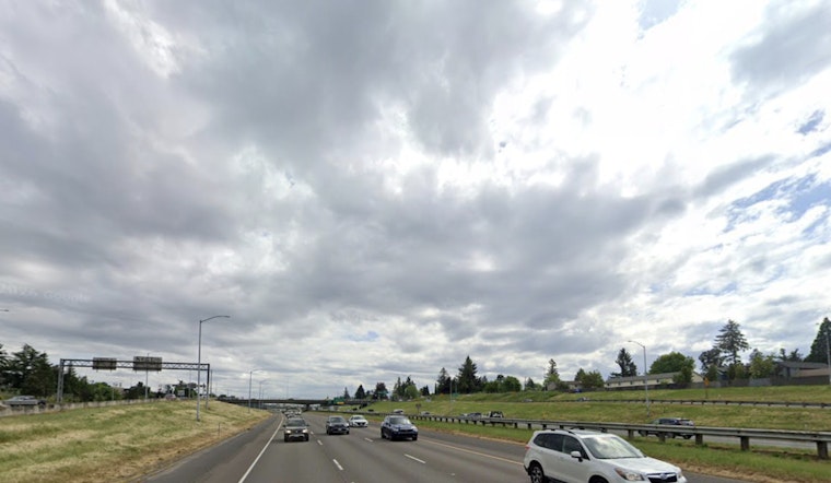
Commute And Travel
Plan on slower drives and slick streets both morning and afternoon as showers keep roads wet and visibility down. Monday night into Tuesday, bridges and the outer hills are the most likely trouble spots if temperatures and any passing snow showers line up just right. At Portland International Airport, periods of low ceilings and brief delays are possible overnight as clouds lower, and there is a small chance of light accumulations that could briefly affect surface streets in the area. The Portland Bureau of Transportation is urging travelers to build in extra time and check agency updates before heading out.
Coast, Marine And Mountains
Out on the water, small-craft advisories are in effect for parts of the coastal and inner waters as seas build. Combined seas of 9–11 feet are expected this afternoon and could climb into the mid-teens later in the week. Higher terrain remains under a Winter Weather Advisory through Tuesday afternoon, and a Winter Storm Watch covers parts of the south Washington Cascades for Tuesday into Wednesday as the odds of heavier mountain snow increase. A southerly wind reversal around midweek may kick up stronger gusts along exposed coastal and gorge locations, so mariners and shoreline residents are being urged to keep a close eye on local forecasts.
Looking Ahead
The active on-and-off wet pattern is not going anywhere right away. Showers continue into Wednesday and Thursday, when the most significant round of rain and additional mountain snow is expected. Forecasters say that window will likely determine how much total precipitation piles up and whether any localized flooding issues emerge. For now, the advice is simple: keep checking updates from the National Weather Service and local transportation pages as advisories and timing get fine-tuned through the week.


