Clouds are hanging over Salt Lake City this morning at Salt Lake City International Airport, with recent observations near 39°F and the air feeling very humid. A light shot of rain is possible before 8 a.m. Tuesday, then skies should break for a partly sunny afternoon and a high near 52°F.
Morning Commute And Afternoon
Overnight, patchy showers may have left some streets slick, which could briefly slow the morning commute, especially near canyon entrances. Mountain and canyon routes will see the most persistent wet weather. Winds stay light, around 2 to 5 mph, so the main issue for drivers is damp pavement, not gusty conditions.
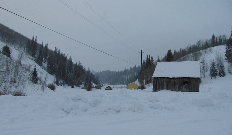
Late-Week Mountain Snow Risk
A colder system is expected to move in early Thursday and linger into Friday, starting as rain and then changing to snow at higher elevations, with a chance for light snow in the valleys. According to the National Weather Service, mountain snow totals could be significant, and travel in the high country may become difficult during the storm. Anyone with plans in the canyons or at ski areas should keep a close eye on forecasts and road conditions.
What This Means For Plans
In the valleys, the headline is brief morning showers followed by a milder Wednesday, with highs near 62°F. For Thursday and Friday mountain trips, pack traction gear, check UDOT road cameras before you go, and build in a time cushion in case snow slows you down.
Earlier Coverage And Updates
We first flagged this wet pattern in our stormy one-two punch, as per Hoodline; this update sharpens the timeline and underscores the colder late-week system. We will keep readers posted as the Thursday and Friday forecast firms up.


