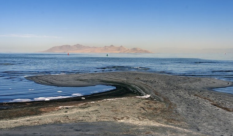
There is more than brine lurking beneath the Great Salt Lake. University of Utah geoscientists say they have mapped a deep, mostly freshwater reservoir hidden under the lake’s eastern margin. Using an airborne geophysical survey to peer through the salty surface, the team spotted a laterally extensive resistive unit they interpret as freshwater-saturated sediments stretching well below the exposed playa. Researchers and state officials are now debating whether that concealed water could someday be used to wet dusty hotspots or bolster wetlands and irrigation, but they stress that tapping it would require a lot more study first.
The findings are detailed in a peer-reviewed paper published Feb. 27 in the journal Scientific Reports, which describes how airborne electromagnetic (AEM) and magnetic data were inverted into a 3D image that reveals a resistive layer beneath the lake that is consistent with fresh water, according to Scientific Reports. The paper explains that AEM can overcome the usual headaches of imaging through a hypersaline surface, and that salinity measurements from cores helped verify the interpretation. The acknowledgements list funding from the Utah Department of Natural Resources and the Great Salt Lake Commissioners' Office.
Mapping The Hidden Reservoir
A summary from campus researchers notes that a helicopter towed electromagnetic equipment across Farmington Bay and the northern flank of Antelope Island in February 2025, flying 10 east-west lines that covered about 154 miles before scientists processed the readings into a tomographic model, per the University of Utah. That analysis indicates the freshwater signal sits beneath a thin, highly conductive saline layer, with AEM resolving resistivity down to roughly 100 meters, while magnetic inversions suggest basement depths drop from about 200 meters to 3–4 kilometers below parts of the bay. Lead author Michael Zhdanov said that once the team nails down the depth, width, and porosity of the unit, they will be able to estimate how much freshwater it might hold.
Could It Help Fight Dust And Support Wetlands?
The work is driven in part by dust. As the Great Salt Lake recedes, it exposes hundreds of square miles of playa that loft fine, metal-laden dust toward the Wasatch Front, and researchers note that rewetting key hotspots could cut particulate emissions. Hydrologist Bill Johnson, a co-author on the study and a spokesperson for the team, cautioned that far more fieldwork is needed before anyone thinks about tapping artesian groundwater for dust control or irrigation, telling KSL the group first has to understand potential impacts to wetlands and to the aquifer itself.
Next Steps And Caveats
The pilot survey covered only a small slice of the lake, and researchers are seeking more funding to expand airborne work across the Great Salt Lake’s roughly 1,500 square mile footprint so they can map the freshwater saltwater interface at the scale of the entire basin, according to the University of Utah. Scientists emphasize that this is not a quick fix to refill the lake, since the freshwater lenses are ancient and pressurized, and pulling from them could damage wetlands that rely on that groundwater. The team says larger, coordinated studies that combine AEM, borehole samples, and long-term hydrologic monitoring will be required before anyone can translate the geophysical picture into real-world management options.
For now, the discovery gives state planners and conservationists a new piece of the Great Salt Lake puzzle, a hidden source of relatively clean water where the surface suggests nothing but salt, that might be used carefully to blunt some of the health and ecological impacts of a shrinking lake, according to satellite imagery and expert commentary compiled by NASA's Earth Observatory. Researchers say time, patience, and a lot more data will determine whether that promise can be realized without doing more harm than good.


