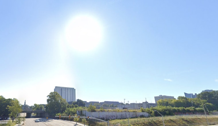
Raleigh is getting a taste of midsummer in the middle of what is supposed to be a much cooler season. Early this morning at Raleigh-Durham International Airport (RDU), temperatures were already sitting in the mid-60s, and the Triangle is on track for another round of unusually warm weather. Afternoon highs are expected to top out near 88°F across much of the area, with a few hotter spots possibly flirting with 90°F, a level of heat more typical of early July.
Afternoon Heat And Gusty Winds
Southwest winds will pick up through the afternoon, stirring in very warm air and pushing temperatures into the upper 80s. Gusts could reach 25 to 30 mph, which is enough to send lightweight lawn chairs scooting across patios and make yard work feel like a workout you did not sign up for. A strong cold front is on track to arrive late Thursday, bringing a quick but widespread round of showers and another burst of gusty winds. Rainfall totals are expected to land around one-half to three-quarters of an inch for many neighborhoods. According to the National Weather Service, the combination of heat and wind today could be enough to nudge a few daily warm records.
Thursday Rain And A Quick Cool Down
The approaching cold front is set to drag widespread showers across the region on Thursday, with a window for a few strong storms mainly southeast of the Triangle. Behind the front, temperatures will drop sharply, sliding into the 40s by mid to late afternoon and setting up a noticeably cooler Friday. Drivers should expect wet roads, changing conditions, and some timing uncertainty for outdoor events and after-school activities tied to the Thursday commute.
Weekend Into Next Week
Another strong front is forecast to move through late Sunday into Monday, keeping the weather pattern active. Forecasters are flagging a low-end risk for strong to severe winds along the Coastal Plain if storms can organize ahead of that system. Showers and thunderstorms are likely Sunday night into Monday, with highs near 70 before the front moves through and then a much cooler air mass settling in by Tuesday. For updated timing, along with any watches or warnings, keep an eye on forecasts from the National Weather Service.
If you are planning to be outside this afternoon, bring water, find some shade, and secure anything the wind might try to relocate for you. For Thursday, have a light jacket and an umbrella ready for the commute. We will post updates if any watches or warnings are issued and as the timing of the fronts becomes clearer.


