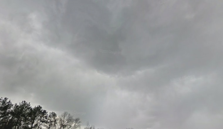
Raleigh is waking up to a muggy start at Raleigh-Durham International Airport, with temperatures hovering near 71°F early Thursday, March 12, 2026. It will not stay that way for long. A strong cold front is on the move and set to flip the script later today. Expect a brief round of spotty showers between about 8 a.m. and 9 a.m., followed by widespread showers and thunderstorms from roughly 9 a.m. through 5 p.m. Highs near 71°F will tumble into the low 40s by late afternoon. Gusty northwest winds could top out around 35 to 36 mph, and locally heavy downpours may drop about a half to three quarters of an inch of rain.
Afternoon Gusts And Severe Threat
As the cold front pushes east across the Triangle, it could spark a few strong to severe thunderstorms, mainly to the south and east of Raleigh. Damaging wind gusts are the main concern, with an isolated tornado also on the table. Forecasters say stronger mid and upper level winds could mix down inside the more intense cells, leading to sudden, sharp gusts and quick temperature drops. These timing and hazard details come from the National Weather Service in Raleigh.
Timing And Commute Impacts
Rain is likely to nose in briefly between 8 a.m. and 9 a.m., then settle in as steadier showers with embedded thunderstorms through the mid and late afternoon. The main window to watch is roughly 9 a.m. to 5 p.m., right over the heart of the commute. Drivers should be ready for slower traffic, sudden areas of standing water, and periods of poor visibility. New rainfall amounts of about a half to three quarters of an inch are possible, with locally higher totals in stronger cells. Plan on extra travel time, ease up on the gas where water collects, avoid flooded roads, tie down loose outdoor furniture, and double check any outdoor event plans before heading out.
What To Watch Next Week
Looking beyond today, forecasters are also flagging another strong front arriving Monday that could bring more showers and a lower confidence chance for severe weather, mainly across the Sandhills and Coastal Plain. For background on the recent warm spell and the evolving pattern, see this recent muggy morning breakdown. It is worth keeping an eye on later forecasts if you have outdoor plans early next week.
Bottom line: expect a soggy, gusty Thursday that turns sharply cooler once the front moves through. Check the National Weather Service and local media for any watches or warnings before you head out, and keep your phone charged so you can get alerts.


