Brownsville’s push to even study becoming its own city has run into a very 21st-century problem: the official map does not match the neighborhood people actually live in. Large chunks of the historic Black community are missing from the county’s study area, and organizers say that glitch could keep thousands of residents from ever getting a say on cityhood.
Without a fix, they warn, volunteers could pour time and money into a petition drive only to find that the county’s narrower map quietly sidelined much of Brownsville before the effort even began.
Outdated Study Map Leaves Much of Brownsville Off the Docket
Advocates first flagged the problem after reviewing the North Central Dade Municipal Advisory Committee’s (MAC) working map. As reported by the Miami Herald, the MAC’s current study footprint covers only a slice of Brownsville, not the broader neighborhood residents recognize.
That mismatch has organizers arguing the county is leaning on an old planning map instead of boundaries that reflect where people live and vote today. If the study area is too small, they say, then any “feasibility” findings will be off from the start.
Official MAC meeting packets and minutes include maps showing the committee’s current study lines and staff briefings on whether to expand the area under review. Those documents describe boundaries tied to corridors such as NW 54th Street and the Airport Expressway and note formal requests to fold in industrial and residential pockets that are currently outside the line.
According to Miami-Dade County meeting materials, MAC members have repeatedly debated widening the study footprint specifically so the feasibility analysis better reflects North Central Dade communities, including Brownsville.
Residents Push Back
For residents, the map is not a mere technicality. It decides who counts in a petition, who shows up in a feasibility analysis, and ultimately who would be allowed to vote on incorporation at all.
Advocates told WLRN that turning Brownsville into a city could give locals far more control over how tax dollars are spent and help protect the area from piecemeal annexation by neighboring municipalities. At recent MAC meetings, neighborhood associations and residents have pressed county staff to make sure all of Brownsville is included in the study map so the numbers on paper reflect the community on the ground.
Annexation Worries Sharpen the Push
The urgency is not abstract. A 2023 proposal by Hialeah to annex a small slice of Brownsville set off alarms among residents and organizers, who saw it as a warning shot. Local reporting at the time highlighted community opposition to the annexation plan and helped revive interest in a formal incorporation feasibility study.
Now, with annexation still in the background, the idea that Brownsville could be carved up on one map while being partially erased on another is not sitting well with locals.
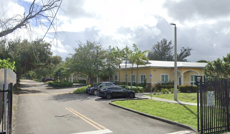
District 2 Commissioner Marleine Bastien is slated to host a town hall on the issue this week at Arcola Lakes Senior Center, 8401 NW 14th Avenue. Organizers and county staff are expected to hash out the mapping problem and possible next steps there, according to the Miami Herald. In the meantime, organizers have launched an online petition calling for a study area that includes the entirety of Brownsville.
Legal And Procedural Hurdles
Even if everyone agreed on a map tomorrow, Brownsville’s cityhood quest would still have to navigate Miami-Dade’s charter, which lays out a multi-step incorporation process.
Once an incorporations committee files the required initiatory paperwork, the Clerk must provide the exact number of signatures needed for a petition, set at 20% of registered electors in the proposed area. The Supervisor of Elections then has to canvass those signatures.
County legislative rules and past commission items spell out that the petition form, the geographic boundaries and the certification process are all formal legal steps. Advocates warn that if the study map is incomplete or inaccurate, it could force costly do-overs just to correct who was supposed to be in the proposed city in the first place.
That is made even trickier by the petition rules. The 20% threshold and the requirement that signatures be notarized and certified are already heavy lifts. Advocates argue that starting with a flawed footprint would make an already challenging process nearly impossible and say the study area needs to be fixed before a single signature is collected.
For now, MAC members and county staff say they will keep holding public meetings and hearings to refine the study and gather input. Organizers plan to keep the pressure on at the upcoming town hall and in future committee sessions, insisting the county redraw the map so any feasibility work, and any petition drive that follows, reflects Brownsville as residents actually know it.


