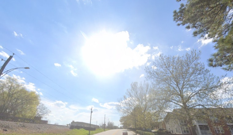
Washington, D.C. is waking up this Sunday, April 12, to partly cloudy skies, temperatures around 50°F, and a light east breeze. It will be a pleasant spring day, with a high near 74°F, but the real story is waiting in the wings. By midweek, highs jump into the upper 80s and low 90s, with gusty southerly winds and very dry afternoons raising fire-weather concerns across the region on Monday and again Tuesday through Thursday.
Afternoon Gusts and Marine Advisories
According to the National Weather Service, Small Craft Advisories are in effect from noon Sunday, April 12 (noon EDT) through 6 p.m. Monday, April 13 (6 p.m. EDT). Southerly winds will gust into the 20s on land and 20–30 knots on the Chesapeake and tidal Potomac. Boaters should secure loose gear and be ready for choppy conditions at marinas and along riverfronts while the advisory is active.
Midweek Heat and Fire Risk
Temperatures climb fast as the workweek starts, with a high near 88°F on Monday, April 13; around 92°F on Tuesday, April 14; and highs near 92–93°F on Wednesday, April 15, and Thursday, April 16. There is a slight chance of afternoon showers or a few thunderstorms Tuesday after 2 p.m., but most of the forecast stays hot and dry. Forecasters say that combination could set or break April temperature records at some locations and will increase wildfire potential across the area. We first flagged this early warmup in our April 3 coverage of the coming heat spike and whiplash cooldown, and the latest outlook has only turned hotter for the workweek.
Cooling Centers, Thresholds, And Who To Watch
The District activates emergency cooling centers when the forecast temperature or heat index reaches roughly 95°F. With most guidance showing highs in the low 90s this week, activation is not guaranteed, so vulnerable residents should plan ahead. The District’s plan includes a map of cooling centers and free accessible-transportation options for those who need them. For locations and transport information, see the District’s heat emergency guidance in the District Heat Emergency Plan.
Quick Tips
Stay hydrated and try to avoid strenuous outdoor activity during the warmest afternoon hours. Check on older neighbors and pets as temperatures climb. Hold off on outdoor burning or bonfires while conditions stay dry and gusty, and secure boats and loose yard gear ahead of the advisory. If you plan to be out on the water, follow the Small Craft Advisory and be prepared for choppy conditions through Monday evening.


