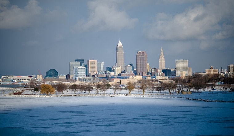
Cleveland woke up to crystal clear skies and a bite-in-the-air 27°F on Wednesday morning, with just a light southeast breeze to keep you honest. The chill will not last long. Sunshine takes over by late morning and temperatures will rocket toward a high near 60°F, a solid 15 to 20 degrees warmer than Tuesday. That mild streak hangs on through midweek before a frontal system muscles in and brings the next shot at showers later in the week. If you are heading out early, bundle up for the dawn cold, then be ready to shed layers by lunchtime.
Afternoon Sunshine And A Springlike Reprieve
Skies are expected to stay mostly sunny Wednesday, with southeast winds around 9 mph helping inland neighborhoods notch the warmest readings. Afternoon highs should land in the upper 50s to near 60°F, a welcome break from the early-week chill. With only a very low chance of daytime showers, most outdoor plans look safe through the late afternoon, whether you are squeezing in a walk, a run, or a coffee on the patio.
Thursday Storms Ride In On Gusty South Winds
Thursday is the day things get more interesting. A cold front will drag in a chance of showers and thunderstorms Thursday afternoon and evening, with highs near 70°F and south winds that could gust to about 28 mph. Any storms are most likely after 2 p.m. Forecasters put the chance of precipitation around 40% Thursday, then ramp it up to about 80% Friday as the front pushes through and rain becomes more widespread.
New rainfall totals Thursday are generally expected to fall between a tenth and a quarter of an inch where storms develop, while Friday's setup could deliver more persistent downpours. According to the National Weather Service Cleveland, it is a good idea to have a backup indoor plan for Thursday afternoon and to anticipate a wetter, slower-go Friday commute.
Weekend Outlook
High pressure looks poised to rebuild over the area for the weekend, bringing a cooler but brighter Saturday with a high near 55°F, followed by a sharp rebound Sunday into the mid 70s. For background on how this pattern has been evolving, check out our recent flurries-to-70 swing. Forecast models hint at another round of unsettled weather late next week as new disturbances move through the region.
Heads Up For Boaters And Commuters
Boaters on Lake Erie will want to pay attention. The National Weather Service Cleveland notes that south winds are expected to increase to 15 to 20 knots Thursday, which would build open-lake waves to 3 to 6 feet and 1 to 3 feet near shore, conditions that could prompt a Small Craft Advisory. It might not be the best day for a casual cruise.
On land, heavier downpours with Friday's frontal passage could leave roads slick and visibility reduced, particularly for the evening drive. Plan on giving yourself extra time, ease off the gas, and stay alert for suddenly changing conditions as those showers move through. And if you are heading out on the water, check the latest updates before you launch.


.jpg)