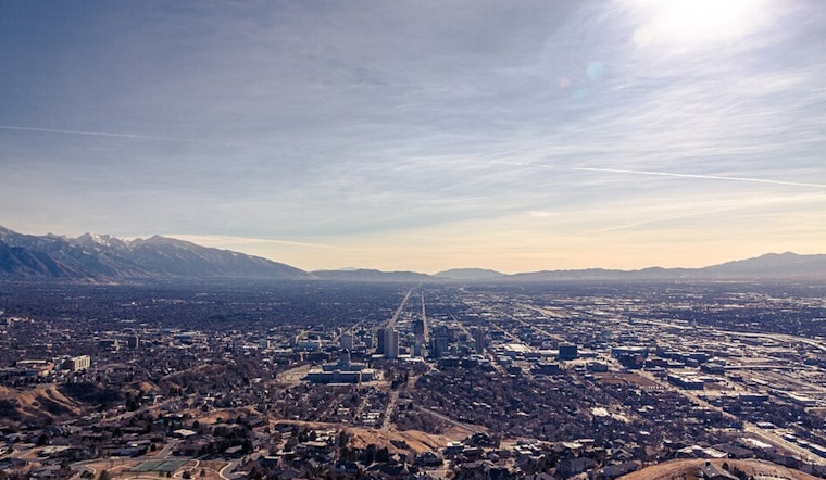
Salt Lake City is waking up clear and mild on Tuesday morning, April 21, but the calm is not sticking around for long. Afternoon highs are headed for the low 80s, putting this firmly in “warmest days of the spring so far” territory. By later today, though, that nice patio weather turns into batten-down-the-hatches weather, with strong south-southwest winds expected and an official Wind Advisory kicking in at 11 a.m. The whole pattern flips again by midweek, as a cold front slides through and swaps the heat for cooler air, showers, and mountain snow by Wednesday.
Afternoon Winds Pick Up
The National Weather Service has issued a Wind Advisory from 11 a.m. Tuesday, April 21, through 12 a.m. Wednesday, April 22, calling for sustained south winds with valley gusts generally in the 20-40 mph range and a 60-80% chance of localized gusts hitting 40-50 mph across many western valleys. That is strong enough to send unsecured patio furniture on a short road trip, create rough conditions for high-profile vehicles, and trigger spotty power outages during the afternoon and evening commute. According to the National Weather Service Salt Lake City, the strongest winds are most likely in western trough-and-valley locations.
Midweek Showers And Mountain Snow
A cold front moves in on Wednesday, April 22, bringing rain showers and an increased chance of thunderstorms, with highs dropping into the upper 50s. Local outlets report that mountain snow returns as snow levels fall to roughly 6,000-6,500 feet, which means snow on the peaks and rain in the valley basins. If you are planning a canyon drive or any outdoor plans in the mountains midweek, expect slower travel and slick roads, per FOX13.
What To Watch This Week
Forecasters with the National Weather Service say northern valleys could pick up roughly 0.25-0.75 inches of rain, while northern mountains may see about 3-6 inches of new snow, with favored terrain potentially squeezing out higher totals. There is also a 10-30% chance of locally freezing mornings from Thursday through Saturday in some rural valleys. The advice: secure outdoor furniture, tie down trailers, and cover tender plants tonight, and check road reports before heading out in the evening and for the Wednesday commute. Full details and timing are available from the National Weather Service Salt Lake City.


.jpg)