Indianapolis woke up Thursday to clear skies, a cool breeze at Indianapolis International Airport, and temperatures hovering near 55°F. Mostly sunny skies are on tap with an afternoon high around 77°F, although mixing in the lower atmosphere should keep the thermometer from climbing much higher. Southwest winds will crank up through the day, and dropping humidity will bring a slightly elevated fire-weather concern this afternoon.
Afternoon Winds Pick Up
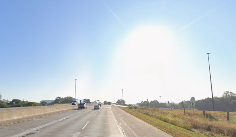
Southwest winds are expected to run about 9 to 16 mph this afternoon, with gusts up to around 31 mph and a few spots flirting with the mid 30s as momentum from the low level jet mixes down to the surface. Those gusts could rattle patio furniture and tug at lighter backyard setups, so it is a good day to secure loose items and tie down canopies before you head out. NWS Indianapolis is flagging an elevated fire-weather threat for the afternoon as relative humidity sinks into the low 30s.
What This Means For Your Drive And Flights
Drivers should plan for a little extra time on the commute and stay alert for sudden crosswinds on bridges and open stretches of interstate. High profile vehicles will feel it the most. A morning window of wind shear could also bring brief flight delays or some added bumps on arrivals and departures at Indianapolis International and nearby airports. If you are setting up outdoor seating or planning gatherings, consider waiting until winds back off or move lighter items indoors.
Rain Returns Friday, Then A Warm Weekend
Scattered showers return Friday, mainly in the morning and early afternoon, with a 65 to 70 percent chance of rain and light totals for most neighborhoods. Friday’s high should reach around 70°F, followed by cooler air behind the front that drops lows into the mid 40s Friday night. Dry, mostly sunny weather moves back in for Saturday with a high near 68°F, and then Sunday makes a run into the low 80s as southwest flow reestablishes itself.
Week Ahead And River Watch
The pattern turns more active again early next week, with daily chances for showers and thunderstorms from Monday through Wednesday and highs in the upper 70s to near 81°F. The National Weather Service notes that extra rainfall Monday and Tuesday could push some receding rivers back toward flood stage in low lying areas, so residents near riverfronts should keep tabs on conditions and local alerts. For more detail, check the NWS spring flood outlook.
If you want the earlier setup to this warm stretch, our previous coverage broke down how the late week warmup would unfold and when the milder air would arrive. You can see how Indy went from freezing to a midweek warmup for more context. For today, the game plan is simple: secure outdoor gear, check your airline status if you are flying, and keep an eye on river forecasts if you live near low lying waterways.


