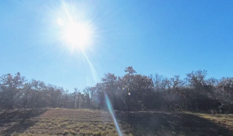
Clear skies and a chilly start in the low 40s are giving Oklahoma City a classic spring mood swing this Sunday, April 19, 2026, with a fast warm-up into the low 70s expected by afternoon. South-southwest winds will crank up through the day, nudging highs near 73°F and kicking dust and pollen around the metro. Most of the city should stay dry, but far western and northwestern parts of the state are looking at a higher fire‑weather risk later today.
Red Flag Warning For Western Counties
The National Weather Service in Norman has a Red Flag Warning in effect from noon to 8 p.m. for portions of northwest and western Oklahoma, where gusty southwest winds and very low humidity could help any spark turn into fast-moving fire. Forecasters expect afternoon relative humidity to tumble into the teens, and officials are urging residents to hold off on outdoor burning and to report any smoke quickly so fire crews can jump on it.
Afternoon Winds And Tonight
Through the afternoon, look for plenty of sun, highs near 73°F and southwest winds generally 6 to 10 mph. Tonight stays mostly clear with temperatures dipping to around 48°F. A weak disturbance sliding in Monday evening could wring out a few showers from Monday night into Tuesday, while Monday itself may turn breezier with stronger gusts at times. For context on the broader windy, fire-prone setup, see our earlier breakdown of the recent wind and fire fears.
How To Prepare
Secure or bring in lightweight outdoor items, and push any brush or pile burning plans to a calmer, more humid day. If you spot smoke or an out-of-control fire, call 911 right away. Residents on the west side of the metro, along with anyone running power tools or equipment that might throw sparks, should be extra cautious this afternoon as humidity drops and gusts increase.


